Tarnobrzeg night lights from space
Night Light of Tarnobrzeg (Subcarpathia) from space (Poland) Src. Average luminocity for 10x10km area is 17.3703% and for 50x50km: 2.6513%.
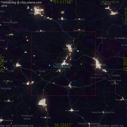
Analysis of Tarnobrzeg night lights 2016
Square area 10x10 km:
 3.88%
3.88%90-99
3.21%80-89
2.81%70-79
0.27%60-69
0.53%50-59
1.07%40-49
1.87%30-39
1.6%20-29
0%10-19
20.59%0-9
64.17%Square area 50x50 km:
0.4%90-99
0.41%80-89
0.29%70-79
0.26%60-69
0.26%50-59
0.23%40-49
0.35%30-39
0.22%20-29
0.1%10-19
2.73%0-9
94.75%Clear (daylight) street map image can be seen on geolist.org.
Map coordinates:
51° 1' 2.9" North, 20° 58' 34.5" East
50° 34' 22.9" North, 21° 40' 45.7" East
50° 7' 27.7" North, 22° 22' 57" East
Some cities around Tarnobrzeg sort by population:
• Stalowa Wola
26.4 km =16.4 mi,  87°
87°
• Sandomierz
13.1 km =8.1 mi,  21°
21°
• Staszów
36.3 km =22.6 mi,  268°
268°
• Nisko
33.1 km =20.6 mi,  100°
100°
• Nowa Dęba
16.7 km =10.4 mi,  162°
162°
• Połaniec
32.2 km =20 mi,  241°
241°
• Gorzyce
15.4 km =9.6 mi,  47°
47°
• Opatów
31 km =19.3 mi,  324°
324°
757033 (p: 50,459)
Sources (retrieved 2019-11-25):
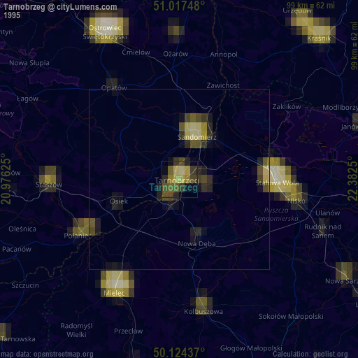
» NASA, Earths city lights 1995
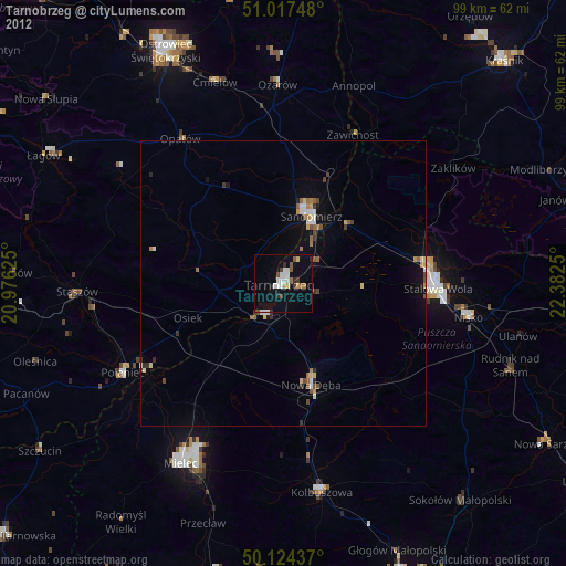
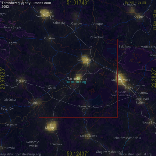
» NASA city lights 2003
» Earth at Night: Flat Maps 2012, 2016