Opatów night lights from space
Night Light of Opatów (Świętokrzyskie) from space (Poland) Src. Average luminocity for 10x10km area is 1.1176% and for 50x50km: 3.794%.
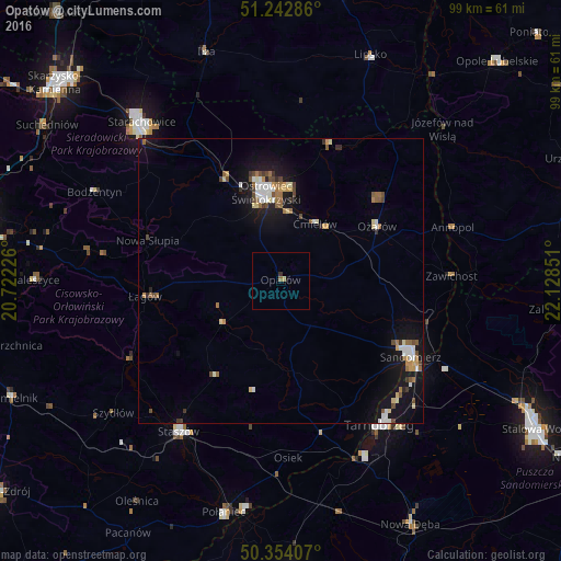
Analysis of Opatów night lights 2016
Square area 10x10 km:
 0%
0%90-99
0%80-89
0%70-79
0.56%60-69
0%50-59
0.56%40-49
0%30-39
0.42%20-29
0.14%10-19
0.42%0-9
97.9%Square area 50x50 km:
0.5%90-99
0.6%80-89
0.4%70-79
0.41%60-69
0.48%50-59
0.49%40-49
0.65%30-39
0.32%20-29
0.28%10-19
3.85%0-9
92.04%Clear (daylight) street map image can be seen on geolist.org.
Map coordinates:
51° 14' 34.3" North, 20° 43' 20.1" East
50° 48' 2.1" North, 21° 25' 31.4" East
50° 21' 14.7" North, 22° 7' 42.6" East
Some cities around Opatów sort by population:
• Ostrowiec Świętokrzyski
14.6 km =9.1 mi,  348°
348°
• Starachowice
36.2 km =22.5 mi,  316°
316°
• Tarnobrzeg
31 km =19.3 mi,  144°
144°
• Sandomierz
26.3 km =16.3 mi,  119°
119°
• Staszów
32.1 km =19.9 mi,  214°
214°
• Połaniec
42.1 km =26.2 mi,  193°
193°
• Gorzyce
32.7 km =20.3 mi, 116°
• Iłża
42.4 km =26.3 mi,  342°
342°
763121 (p: 6,799)
Sources (retrieved 2019-11-25):
» Earth at Night: Flat Maps 2012, 2016