Stalowa Wola night lights from space
Night Light of Stalowa Wola (Subcarpathia) from space (Poland) Src. Average luminocity for 10x10km area is 30.0455% and for 50x50km: 3.2992%.
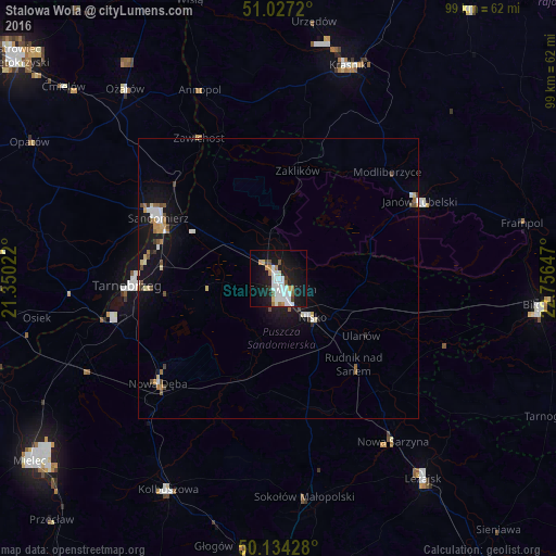
Analysis of Stalowa Wola night lights 2016
Square area 10x10 km:
 8.42%
8.42%90-99
7.75%80-89
1.47%70-79
2.41%60-69
2.94%50-59
1.47%40-49
1.6%30-39
1.74%20-29
3.21%10-19
32.35%0-9
36.63%Square area 50x50 km:
0.56%90-99
0.62%80-89
0.32%70-79
0.3%60-69
0.38%50-59
0.24%40-49
0.46%30-39
0.22%20-29
0.22%10-19
3.71%0-9
92.97%Clear (daylight) street map image can be seen on geolist.org.
Map coordinates:
51° 1' 37.9" North, 21° 21' 0.8" East
50° 34' 58.3" North, 22° 3' 12" East
50° 8' 3.4" North, 22° 45' 23.3" East
Some cities around Stalowa Wola sort by population:
• Tarnobrzeg
26.4 km =16.4 mi,  267°
267°
• Sandomierz
24.2 km =15 mi,  297°
297°
• Nisko
9.3 km =5.8 mi,  138°
138°
• Janów Lubelski
28.7 km =17.8 mi,  61°
61°
• Nowa Dęba
27.3 km =17 mi,  231°
231°
• Gorzyce
17.7 km =11 mi, 301°
• Rudnik nad Sanem
20.9 km =13 mi, 138°
• Jeżowe
23.7 km =14.7 mi,  167°
167°
758445 (p: 66,495)
Sources (retrieved 2019-11-25):
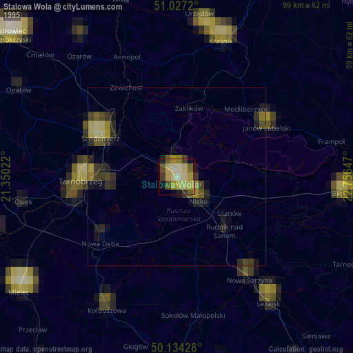
» NASA, Earths city lights 1995
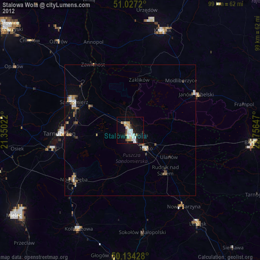
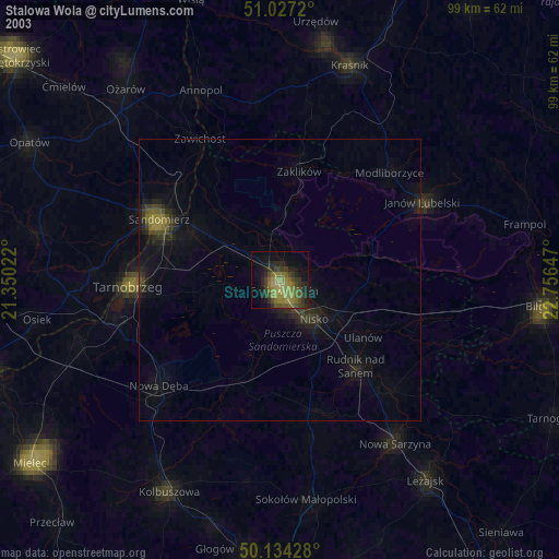
» NASA city lights 2003
» Earth at Night: Flat Maps 2012, 2016