Połaniec night lights from space
Night Light of Połaniec (Świętokrzyskie) from space (Poland) Src. Average luminocity for 10x10km area is 8.993% and for 50x50km: 2.7686%.
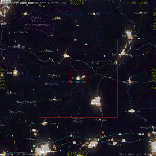
Analysis of Połaniec night lights 2016
Square area 10x10 km:
 1.68%
1.68%90-99
1.82%80-89
1.54%70-79
1.12%60-69
0%50-59
0.56%40-49
0.7%30-39
1.68%20-29
0.7%10-19
0.98%0-9
89.22%Square area 50x50 km:
0.56%90-99
0.59%80-89
0.2%70-79
0.23%60-69
0.29%50-59
0.22%40-49
0.26%30-39
0.26%20-29
0.44%10-19
1.89%0-9
95.07%Clear (daylight) street map image can be seen on geolist.org.
Map coordinates:
50° 52' 44.4" North, 20° 34' 41.1" East
50° 25' 59.7" North, 21° 16' 52.3" East
49° 58' 59.7" North, 21° 59' 3.6" East
Some cities around Połaniec sort by population:
• Mielec
19.1 km =11.9 mi,  148°
148°
• Tarnobrzeg
32.2 km =20 mi,  61°
61°
• Busko-Zdrój
40 km =24.9 mi,  275°
275°
• Staszów
16.6 km =10.3 mi,  330°
330°
• Nowa Dęba
33.3 km =20.7 mi,  90°
90°
• Dąbrowa Tarnowska
35.6 km =22.1 mi,  216°
216°
• Kolbuszowa
40.9 km =25.4 mi,  120°
120°
• Opatów
42.1 km =26.2 mi,  13°
13°
761652 (p: 8,158)
Sources (retrieved 2019-11-25):
» Earth at Night: Flat Maps 2012, 2016