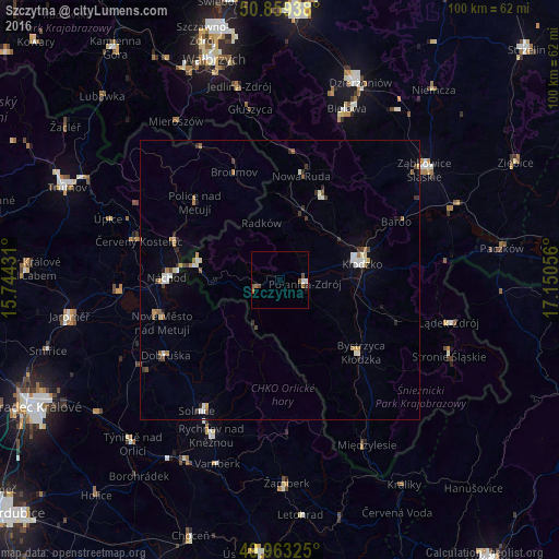
Szczytna night lights from space
Night Light of Szczytna (Lower Silesia) from space (Poland) Src. Average luminocity for 10x10km area is 3.9202% and for 50x50km: 2.2755%.
Analysis of Szczytna night lights 2016
Square area 10x10 km:
 0.7%
0.7%90-99
0.42%80-89
0%70-79
0%60-69
1.68%50-59
1.26%40-49
0.98%30-39
0.56%20-29
0%10-19
0.42%0-9
93.98%Square area 50x50 km:
0.25%90-99
0.43%80-89
0.16%70-79
0.19%60-69
0.36%50-59
0.32%40-49
0.3%30-39
0.38%20-29
0.29%10-19
0.4%0-9
96.92%Clear (daylight) street map image can be seen on geolist.org.
Map coordinates:
50° 51' 33.8" North, 15° 44' 39.5" East
50° 24' 48.3" North, 16° 26' 50.7" East
49° 57' 47.7" North, 17° 9' 2" East
Some cities around Szczytna sort by population:
• Kłodzko
15.3 km =9.5 mi,  81°
81°
• Nowa Ruda
18.9 km =11.7 mi,  11°
11°
• Náchod, CZ
20.2 km =12.6 mi,  271°
271°
• Bystrzyca Kłodzka
18.6 km =11.6 mi,  131°
131°
• Kudowa-Zdrój
14.8 km =9.2 mi,  282°
282°
• Broumov, CZ
20.8 km =12.9 mi,  336°
336°
• Polanica-Zdrój
4.7 km =2.9 mi,  103°
103°
• Hronov, CZ
20.2 km =12.6 mi,  291°
291°
3083749 (p: 5,234)
Sources (retrieved 2019-11-25):
» Earth at Night: Flat Maps 2012, 2016