Kłodzko night lights from space
Night Light of Kłodzko (Lower Silesia) from space (Poland) Src. Average luminocity for 10x10km area is 12.0658% and for 50x50km: 1.7729%.
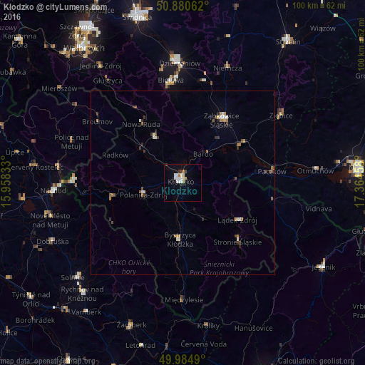
Analysis of Kłodzko night lights 2016
Square area 10x10 km:
 3.22%
3.22%90-99
2.66%80-89
1.12%70-79
0.28%60-69
1.68%50-59
0%40-49
1.12%30-39
0.84%20-29
0.14%10-19
3.08%0-9
85.85%Square area 50x50 km:
0.21%90-99
0.37%80-89
0.07%70-79
0.14%60-69
0.37%50-59
0.23%40-49
0.24%30-39
0.35%20-29
0.18%10-19
0.26%0-9
97.58%Clear (daylight) street map image can be seen on geolist.org.
Map coordinates:
50° 52' 50.2" North, 15° 57' 30" East
50° 26' 5.6" North, 16° 39' 41.2" East
49° 59' 5.6" North, 17° 21' 52.5" East
Some cities around Kłodzko sort by population:
• Nowa Ruda
19.7 km =12.2 mi,  325°
325°
• Ząbkowice Śląskie
20.3 km =12.6 mi,  31°
31°
• Bystrzyca Kłodzka
14.9 km =9.3 mi,  185°
185°
• Paczków
24.6 km =15.3 mi,  82°
82°
• Polanica-Zdrój
11.1 km =6.9 mi,  251°
251°
• Stronie Śląskie
21.6 km =13.4 mi,  135°
135°
• Lądek-Zdrój
18.5 km =11.5 mi,  123°
123°
• Szczytna
15.3 km =9.5 mi,  261°
261°
3096053 (p: 27,941)
Sources (retrieved 2019-11-25):
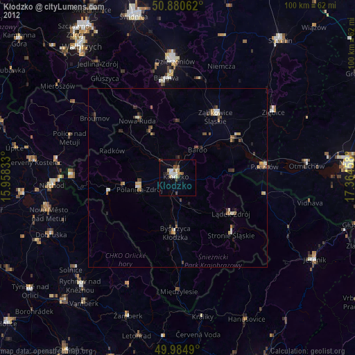
» Earth at Night: Flat Maps 2012, 2016