Nowa Ruda night lights from space
Night Light of Nowa Ruda (Lower Silesia) from space (Poland) Src. Average luminocity for 10x10km area is 4.3449% and for 50x50km: 4.8465%.
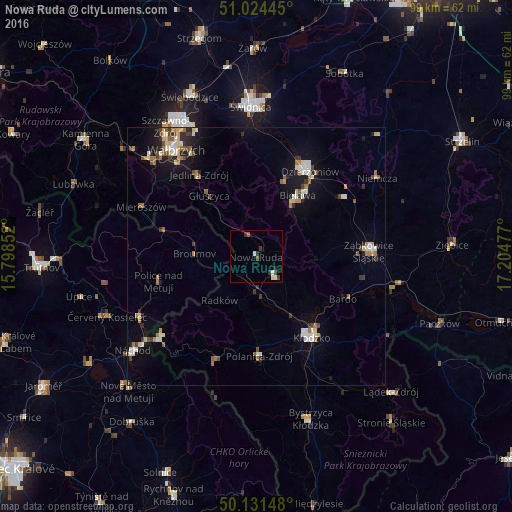
Analysis of Nowa Ruda night lights 2016
Square area 10x10 km:
 0.27%
0.27%90-99
1.87%80-89
0%70-79
0%60-69
0%50-59
1.6%40-49
0.27%30-39
1.6%20-29
1.34%10-19
0%0-9
93.05%Square area 50x50 km:
0.51%90-99
0.86%80-89
0.6%70-79
0.42%60-69
0.82%50-59
0.53%40-49
0.56%30-39
0.58%20-29
0.84%10-19
2.7%0-9
91.57%Clear (daylight) street map image can be seen on geolist.org.
Map coordinates:
51° 1' 28" North, 15° 47' 54.7" East
50° 34' 48.3" North, 16° 30' 5.9" East
50° 7' 53.3" North, 17° 12' 17.2" East
Some cities around Nowa Ruda sort by population:
• Dzierżoniów
19.6 km =12.2 mi,  32°
32°
• Bielawa
15 km =9.3 mi, 34°
• Pieszyce
15.8 km =9.8 mi,  21°
21°
• Broumov, CZ
12 km =7.5 mi,  272°
272°
• Polanica-Zdrój
19.6 km =12.2 mi,  177°
177°
• Głuszyca
15 km =9.3 mi,  322°
322°
• Szczytna
18.9 km =11.7 mi,  191°
191°
• Jedlina-Zdrój
19 km =11.8 mi, 324°
3090768 (p: 24,753)
Sources (retrieved 2019-11-25):
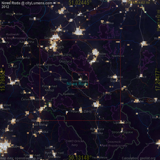
» Earth at Night: Flat Maps 2012, 2016