Rzepin night lights from space
Night Light of Rzepin (Lubusz) from space (Poland) Src. Average luminocity for 10x10km area is 5.4659% and for 50x50km: 2.9454%.
Analysis of Rzepin night lights 2016
Square area 10x10 km:
 0.76%
0.76%90-99
1.01%80-89
0.13%70-79
0.88%60-69
1.01%50-59
1.01%40-49
0.63%30-39
0.63%20-29
1.01%10-19
0%0-9
92.93%Square area 50x50 km:
0.38%90-99
0.48%80-89
0.28%70-79
0.32%60-69
0.45%50-59
0.23%40-49
0.45%30-39
0.42%20-29
0.28%10-19
2.46%0-9
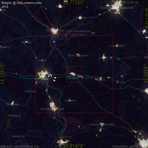
94.25%Clear (daylight) street map image can be seen on geolist.org.
Map coordinates:
52° 46' 25.9" North, 14° 7' 44.9" East
52° 20' 47" North, 14° 49' 56.2" East
51° 54' 53.2" North, 15° 32' 7.4" East
Some cities around Rzepin sort by population:
• Frankfurt (Oder), DE
19.1 km =11.9 mi,  270°
270°
• Eisenhüttenstadt, DE
25.1 km =15.6 mi,  209°
209°
• Kostrzyn nad Odrą
29.5 km =18.3 mi,  335°
335°
• Słubice
18.5 km =11.5 mi, 271°
• Krosno Odrzańskie
37.2 km =23.1 mi,  150°
150°
• Sulęcin
22.2 km =13.8 mi,  60°
60°
• Witnica
36.6 km =22.7 mi,  6°
6°
• Seelow, DE
37 km =23 mi,  304°
304°
3086435 (p: 6,488)
Sources (retrieved 2019-11-25):
» Earth at Night: Flat Maps 2012, 2016