Świebodzin night lights from space
Night Light of Świebodzin (Lubusz) from space (Poland) Src. Average luminocity for 10x10km area is 12.3677% and for 50x50km: 1.8728%.
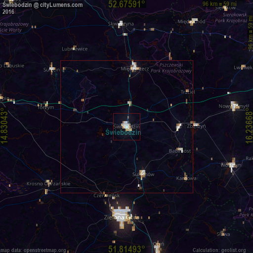
Analysis of Świebodzin night lights 2016
Square area 10x10 km:
 2.25%
2.25%90-99
2.51%80-89
2.12%70-79
1.06%60-69
1.46%50-59
0.13%40-49
0.53%30-39
0.66%20-29
0.4%10-19
4.37%0-9
84.52%Square area 50x50 km:
0.3%90-99
0.27%80-89
0.25%70-79
0.18%60-69
0.24%50-59
0.18%40-49
0.31%30-39
0.1%20-29
0.29%10-19
0.32%0-9
97.57%Clear (daylight) street map image can be seen on geolist.org.
Map coordinates:
52° 40' 33.3" North, 14° 49' 49.5" East
52° 14' 51" North, 15° 32' 0.8" East
51° 48' 53.7" North, 16° 14' 12" East
Some cities around Świebodzin sort by population:
• Zielona Góra
34.7 km =21.6 mi,  183°
183°
• Międzyrzecz
22.1 km =13.7 mi,  7°
7°
• Sulechów
19.3 km =12 mi,  161°
161°
• Krosno Odrzańskie
36.6 km =22.7 mi,  234°
234°
• Sulęcin
35.8 km =22.2 mi,  307°
307°
• Skwierzyna
39.1 km =24.3 mi,  357°
357°
• Zbąszyń
26.7 km =16.6 mi,  89°
89°
• Zbąszynek
19.3 km =12 mi, 91°
3084062 (p: 21,757)
Sources (retrieved 2019-11-25):
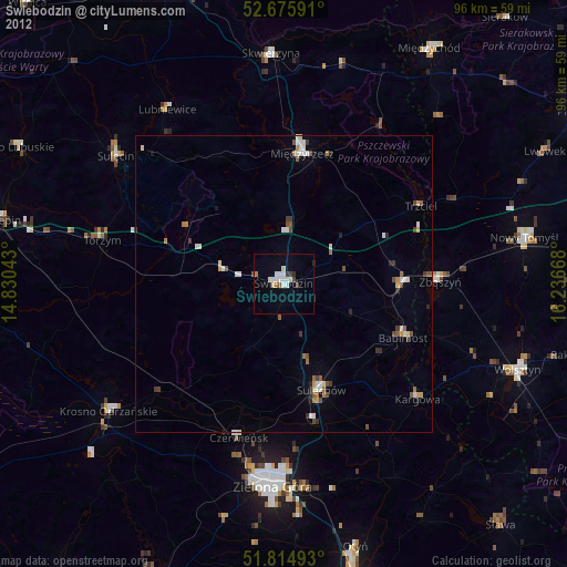
» Earth at Night: Flat Maps 2012, 2016