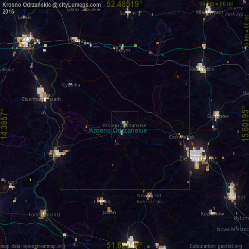
Krosno Odrzańskie night lights from space
Night Light of Krosno Odrzańskie (Lubusz) from space (Poland) Src. Average luminocity for 10x10km area is 3.798% and for 50x50km: 0.8431%.
Analysis of Krosno Odrzańskie night lights 2016
Square area 10x10 km:
 0%
0%90-99
0.38%80-89
1.14%70-79
0.51%60-69
0%50-59
1.89%40-49
0.13%30-39
0.76%20-29
0.51%10-19
0.25%0-9
94.44%Square area 50x50 km:
0.03%90-99
0.06%80-89
0.13%70-79
0.14%60-69
0.12%50-59
0.13%40-49
0.11%30-39
0.09%20-29
0.13%10-19
0.73%0-9
98.32%Clear (daylight) street map image can be seen on geolist.org.
Map coordinates:
52° 29' 6.7" North, 14° 23' 44.5" East
52° 3' 17.7" North, 15° 5' 55.8" East
51° 37' 13.7" North, 15° 48' 7" East
Some cities around Krosno Odrzańskie sort by population:
• Zielona Góra
30.9 km =19.2 mi,  115°
115°
• Eisenhüttenstadt, DE
32.4 km =20.1 mi,  289°
289°
• Świebodzin
36.6 km =22.7 mi,  54°
54°
• Guben, DE
28.8 km =17.9 mi,  246°
246°
• Sulechów
36.1 km =22.4 mi,  84°
84°
• Gubin
27.9 km =17.3 mi, 245°
• Lubsko
31.3 km =19.4 mi,  196°
196°
• Nowogród Bobrzański
30 km =18.6 mi,  161°
161°
3094633 (p: 12,178)
Sources (retrieved 2019-11-25):
» Earth at Night: Flat Maps 2012, 2016