Seelow night lights from space
Night Light of Seelow (Brandenburg) from space (Germany) Src. Average luminocity for 10x10km area is 1.078% and for 50x50km: 2.8378%.
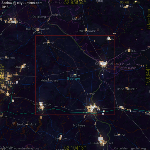
Analysis of Seelow night lights 2016
Square area 10x10 km:
 0%
0%90-99
0%80-89
0%70-79
1.06%60-69
0%50-59
0%40-49
0%30-39
0%20-29
0.53%10-19
0.13%0-9
98.28%Square area 50x50 km:
0.44%90-99
0.5%80-89
0.37%70-79
0.4%60-69
0.24%50-59
0.21%40-49
0.36%30-39
0.23%20-29
0.28%10-19
2.06%0-9
94.92%Clear (daylight) street map image can be seen on geolist.org.
Map coordinates:
52° 57' 34.3" North, 13° 40' 41.4" East
52° 32' 2.1" North, 14° 22' 52.6" East
52° 6' 14.9" North, 15° 5' 3.9" East
Some cities around Seelow sort by population:
• Frankfurt (Oder)
23.7 km =14.7 mi,  151°
151°
• Fürstenwalde
29 km =18 mi,  228°
228°
• Strausberg
33.8 km =21 mi,  278°
278°
• Kostrzyn nad Odrą, PL
19.1 km =11.9 mi,  71°
71°
• Słubice, PL
23.7 km =14.7 mi, 149°
• Dębno, PL
31.3 km =19.4 mi,  43°
43°
• Wriezen
26.7 km =16.6 mi,  321°
321°
• Müncheberg
16.8 km =10.4 mi,  259°
259°
2833651 (p: 5,981)
Sources (retrieved 2019-11-25):
» Earth at Night: Flat Maps 2012, 2016