Rydułtowy night lights from space
Night Light of Rydułtowy (Silesia) from space (Poland) Src. Average luminocity for 10x10km area is 36.1695% and for 50x50km: 18.9121%.
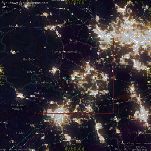
Analysis of Rydułtowy night lights 2016
Square area 10x10 km:
 3.78%
3.78%90-99
3.22%80-89
4.06%70-79
2.94%60-69
7.28%50-59
5.74%40-49
12.89%30-39
7.7%20-29
16.53%10-19
17.65%0-9
18.21%Square area 50x50 km:
2.89%90-99
3.11%80-89
1.26%70-79
1.85%60-69
2.15%50-59
2.39%40-49
3.55%30-39
3.36%20-29
8.25%10-19
14.92%0-9
56.26%Clear (daylight) street map image can be seen on geolist.org.
Map coordinates:
50° 30' 28.3" North, 17° 42' 50.1" East
50° 3' 30.9" North, 18° 25' 1.3" East
49° 36' 18.1" North, 19° 7' 12.6" East
Some cities around Rydułtowy sort by population:
• Rybnik
9.9 km =6.2 mi,  64°
64°
• Jastrzębie Zdrój
16.1 km =10 mi,  135°
135°
• Racibórz
14.6 km =9.1 mi,  284°
284°
• Wodzisław Śląski
7.3 km =4.5 mi,  147°
147°
• Radlin
4.3 km =2.7 mi,  102°
102°
• Pszów
2.6 km =1.6 mi,  217°
217°
• Niedobczyce
5.6 km =3.5 mi,  82°
82°
• Markłowice
8.7 km =5.4 mi,  121°
121°
3086531 (p: 21,887)
Sources (retrieved 2019-11-25):
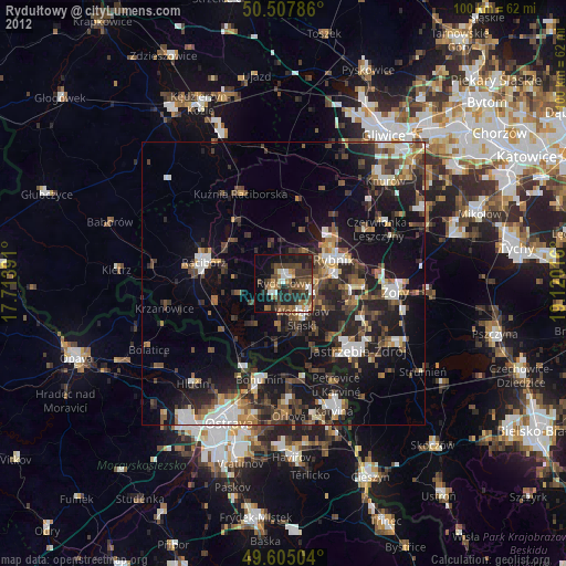
» Earth at Night: Flat Maps 2012, 2016