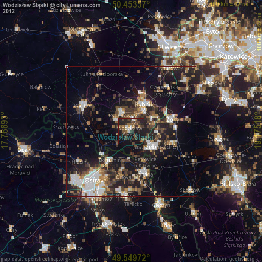
Wodzisław Śląski night lights from space
Night Light of Wodzisław Śląski (Silesia) from space (Poland) Src. Average luminocity for 10x10km area is 37.3768% and for 50x50km: 21.9146%.

Analysis of Wodzisław Śląski night lights 2016
Square area 10x10 km:
 3.92%
3.92%90-99
3.08%80-89
3.78%70-79
2.8%60-69
4.48%50-59
5.6%40-49
11.9%30-39
9.52%20-29
32.07%10-19
18.91%0-9
3.92%Square area 50x50 km:
3.5%90-99
3.6%80-89
1.52%70-79
2.11%60-69
2.53%50-59
2.85%40-49
3.89%30-39
3.67%20-29
9.15%10-19
18.04%0-9
49.13%Clear (daylight) street map image can be seen on geolist.org.
Map coordinates:
50° 27' 12.9" North, 17° 46' 8.1" East
50° 0' 13.6" North, 18° 28' 19.4" East
49° 32' 59" North, 19° 10' 30.6" East
Some cities around Wodzisław Śląski sort by population:
• Rybnik
11.5 km =7.1 mi,  25°
25°
• Jastrzębie Zdrój
9.1 km =5.7 mi,  126°
126°
• Starý Bohumín, CZ
13.7 km =8.5 mi,  225°
225°
• Rydułtowy
7.3 km =4.5 mi,  327°
327°
• Radlin
5.2 km =3.2 mi,  3°
3°
• Pszów
6.8 km =4.2 mi,  306°
306°
• Niedobczyce
7.1 km =4.4 mi,  13°
13°
• Markłowice
3.8 km =2.4 mi,  67°
67°
3081677 (p: 49,521)
Sources (retrieved 2019-11-25):
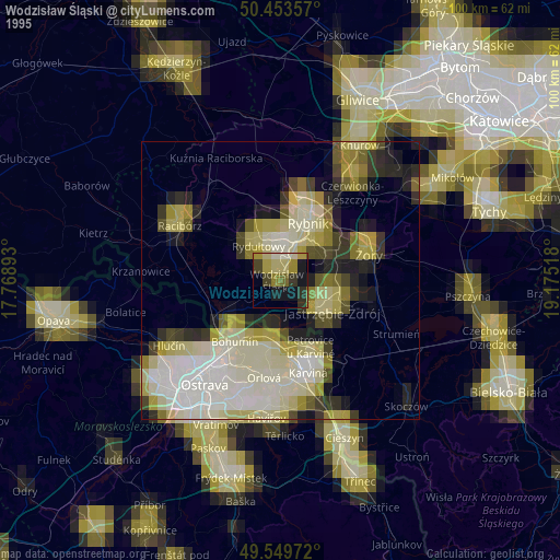
» NASA, Earths city lights 1995
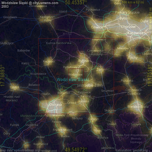
» NASA city lights 2003
» Earth at Night: Flat Maps 2012, 2016