Polkowice night lights from space
Night Light of Polkowice (Lower Silesia) from space (Poland) Src. Average luminocity for 10x10km area is 19.9545% and for 50x50km: 3.972%.
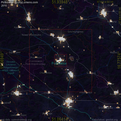
Analysis of Polkowice night lights 2016
Square area 10x10 km:
 4.14%
4.14%90-99
4.41%80-89
0.27%70-79
0.27%60-69
3.34%50-59
1.6%40-49
3.07%30-39
2.14%20-29
1.6%10-19
19.39%0-9
59.76%Square area 50x50 km:
0.84%90-99
0.81%80-89
0.23%70-79
0.14%60-69
0.35%50-59
0.34%40-49
0.34%30-39
0.42%20-29
0.47%10-19
3.91%0-9
92.14%Clear (daylight) street map image can be seen on geolist.org.
Map coordinates:
51° 56' 22.1" North, 15° 22' 10.2" East
51° 30' 14.1" North, 16° 4' 21.4" East
51° 3' 50.9" North, 16° 46' 32.7" East
Some cities around Polkowice sort by population:
• Legnica
33.3 km =20.7 mi,  169°
169°
• Lubin
14.5 km =9 mi,  142°
142°
• Głogów
17.8 km =11.1 mi,  2°
2°
• Chojnów
27.3 km =17 mi,  200°
200°
• Góra
36.7 km =22.8 mi,  60°
60°
• Chocianów
15.2 km =9.4 mi,  231°
231°
• Przemków
19.4 km =12.1 mi,  277°
277°
• Ścinawa
26.3 km =16.3 mi,  111°
111°
3088435 (p: 21,565)
Sources (retrieved 2019-11-25):
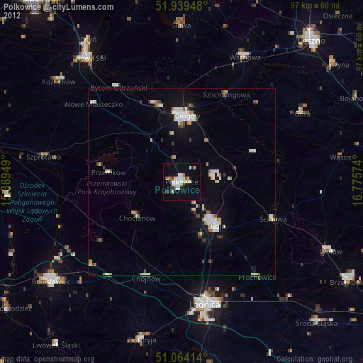
» Earth at Night: Flat Maps 2012, 2016