Lubin night lights from space
Night Light of Lubin (Lower Silesia) from space (Poland) Src. Average luminocity for 10x10km area is 24.2255% and for 50x50km: 4.1565%.
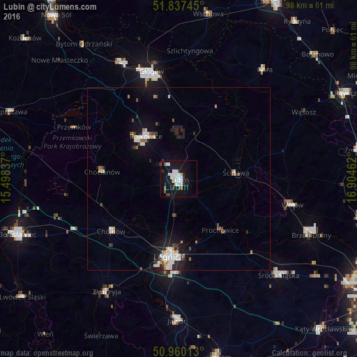
Analysis of Lubin night lights 2016
Square area 10x10 km:
 6.86%
6.86%90-99
6.58%80-89
1.68%70-79
0%60-69
0.56%50-59
2.24%40-49
0.84%30-39
2.52%20-29
1.12%10-19
34.03%0-9
43.56%Square area 50x50 km:
0.89%90-99
0.86%80-89
0.22%70-79
0.24%60-69
0.39%50-59
0.3%40-49
0.45%30-39
0.37%20-29
0.83%10-19
3.81%0-9
91.65%Clear (daylight) street map image can be seen on geolist.org.
Map coordinates:
51° 50' 14.8" North, 15° 29' 54.1" East
51° 24' 3.2" North, 16° 12' 5.4" East
50° 57' 36.5" North, 16° 54' 16.6" East
Some cities around Lubin sort by population:
• Legnica
21.4 km =13.3 mi,  187°
187°
• Głogów
30.3 km =18.8 mi,  344°
344°
• Polkowice
14.5 km =9 mi,  322°
322°
• Chojnów
23.2 km =14.4 mi,  232°
232°
• Wołów
31.6 km =19.6 mi,  103°
103°
• Chocianów
20.9 km =13 mi,  275°
275°
• Przemków
31.4 km =19.5 mi,  296°
296°
• Ścinawa
15.6 km =9.7 mi,  83°
83°
3092931 (p: 77,532)
Sources (retrieved 2019-11-25):
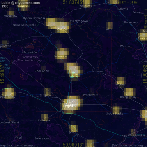
» NASA, Earths city lights 1995
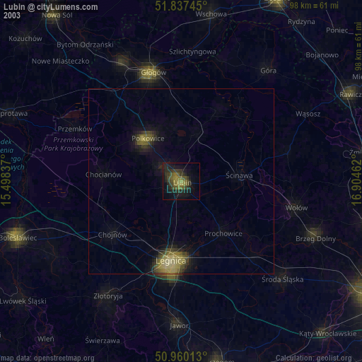
» NASA city lights 2003
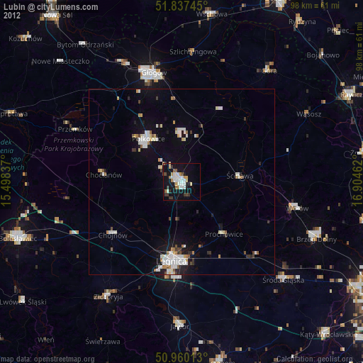
» Earth at Night: Flat Maps 2012, 2016