Mielec night lights from space
Night Light of Mielec (Subcarpathia) from space (Poland) Src. Average luminocity for 10x10km area is 32.143% and for 50x50km: 3.6746%.
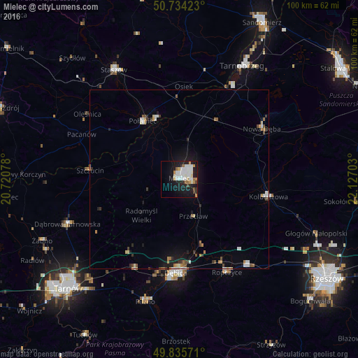
Analysis of Mielec night lights 2016
Square area 10x10 km:
 8.42%
8.42%90-99
9.76%80-89
1.74%70-79
2.81%60-69
3.61%50-59
0.8%40-49
1.74%30-39
1.07%20-29
7.35%10-19
27.14%0-9
35.56%Square area 50x50 km:
0.63%90-99
0.68%80-89
0.33%70-79
0.33%60-69
0.47%50-59
0.32%40-49
0.34%30-39
0.36%20-29
0.58%10-19
2.73%0-9
93.24%Clear (daylight) street map image can be seen on geolist.org.
Map coordinates:
50° 44' 3.2" North, 20° 43' 14.8" East
50° 17' 13.5" North, 21° 25' 26" East
49° 50' 8.6" North, 22° 7' 37.3" East
Some cities around Mielec sort by population:
• Dębica
26.2 km =16.3 mi,  181°
181°
• Staszów
35.7 km =22.2 mi,  329°
329°
• Ropczyce
29.2 km =18.1 mi,  153°
153°
• Nowa Dęba
28.1 km =17.5 mi,  55°
55°
• Dąbrowa Tarnowska
33.5 km =20.8 mi,  248°
248°
• Kolbuszowa
25.5 km =15.8 mi,  100°
100°
• Połaniec
19.1 km =11.9 mi, 328°
• Sędziszów Małopolski
31.1 km =19.3 mi,  140°
140°
764849 (p: 60,993)
Sources (retrieved 2019-11-25):
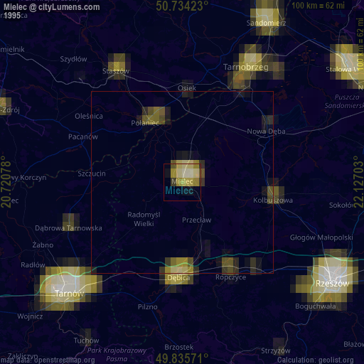
» NASA, Earths city lights 1995
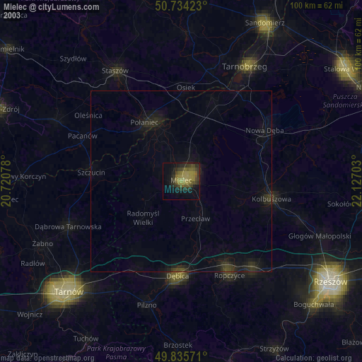
» NASA city lights 2003
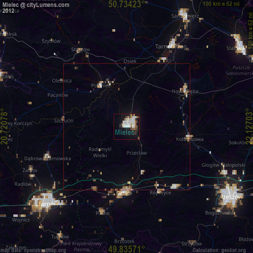
» Earth at Night: Flat Maps 2012, 2016