Sokołów Podlaski night lights from space
Night Light of Sokołów Podlaski (Mazovia) from space (Poland) Src. Average luminocity for 10x10km area is 10.0391% and for 50x50km: 1.1478%.
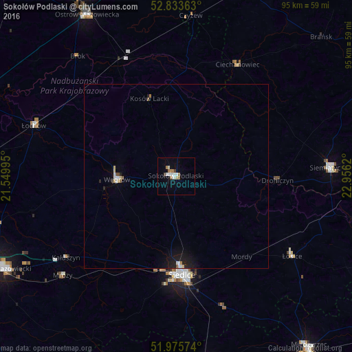
Analysis of Sokołów Podlaski night lights 2016
Square area 10x10 km:
 1.77%
1.77%90-99
2.53%80-89
0.25%70-79
0.51%60-69
3.03%50-59
0.51%40-49
0.51%30-39
0.51%20-29
0%10-19
0.51%0-9
89.9%Square area 50x50 km:
0.17%90-99
0.2%80-89
0.13%70-79
0.04%60-69
0.17%50-59
0.07%40-49
0.08%30-39
0.04%20-29
0.22%10-19
0.87%0-9
98.02%Clear (daylight) street map image can be seen on geolist.org.
Map coordinates:
52° 50' 1.1" North, 21° 32' 59.8" East
52° 24' 24.4" North, 22° 15' 11.1" East
51° 58' 32.7" North, 22° 57' 22.3" East
Some cities around Sokołów Podlaski sort by population:
• Siedlce
26.7 km =16.6 mi,  174°
174°
• Mińsk Mazowiecki
52.7 km =32.7 mi,  241°
241°
• Ostrów Mazowiecka
50.2 km =31.2 mi,  331°
331°
• Siemiatycze
41.4 km =25.7 mi,  86°
86°
• Węgrów
16.1 km =10 mi,  267°
267°
• Łosice
38.4 km =23.9 mi,  124°
124°
• Łochów
41.1 km =25.5 mi,  289°
289°
• Małkinia Górna
35.2 km =21.9 mi, 334°
758626 (p: 18,241)
Sources (retrieved 2019-11-25):
» Earth at Night: Flat Maps 2012, 2016