Ostróda night lights from space
Night Light of Ostróda (Warmia-Masuria) from space (Poland) Src. Average luminocity for 10x10km area is 10.4722% and for 50x50km: 1.3018%.
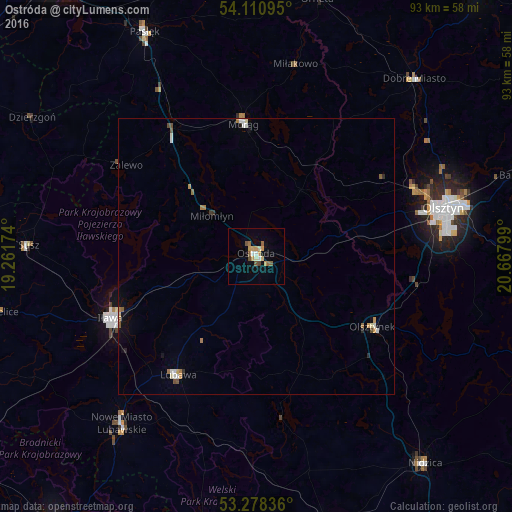
Analysis of Ostróda night lights 2016
Square area 10x10 km:
 0.88%
0.88%90-99
1.14%80-89
1.52%70-79
3.03%60-69
0.51%50-59
2.78%40-49
1.14%30-39
0.13%20-29
0%10-19
1.01%0-9
87.88%Square area 50x50 km:
0.16%90-99
0.17%80-89
0.15%70-79
0.24%60-69
0.18%50-59
0.25%40-49
0.13%30-39
0.07%20-29
0.08%10-19
0.3%0-9
98.28%Clear (daylight) street map image can be seen on geolist.org.
Map coordinates:
54° 6' 39.4" North, 19° 15' 42.3" East
53° 41' 48.2" North, 19° 57' 53.5" East
53° 16' 42.1" North, 20° 40' 4.8" East
Some cities around Ostróda sort by population:
• Olsztyn
36 km =22.4 mi,  75°
75°
• Iława
28.4 km =17.6 mi,  246°
246°
• Morąg
24.6 km =15.3 mi,  354°
354°
• Nowe Miasto Lubawskie
39.2 km =24.4 mi,  218°
218°
• Dobre Miasto
43 km =26.7 mi,  41°
41°
• Lubawa
25.7 km =16 mi,  213°
213°
• Olsztynek
24.5 km =15.2 mi,  120°
120°
• Susz
41.4 km =25.7 mi,  273°
273°
3089779 (p: 33,524)
Sources (retrieved 2019-11-25):
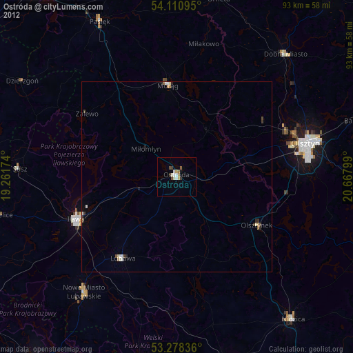
» Earth at Night: Flat Maps 2012, 2016