Olsztyn night lights from space
Night Light of Olsztyn (Warmia-Masuria) from space (Poland) Src. Average luminocity for 10x10km area is 51.6772% and for 50x50km: 3.2515%.
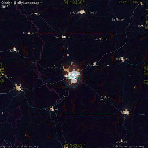


Analysis of Olsztyn night lights 2016
Square area 10x10 km:
 17.33%
90-99
14.81%80-89
1.59%70-79
3.84%60-69
4.63%50-59
2.12%40-49
2.78%30-39
4.63%20-29
22.35%10-19
20.37%0-9
5.56%Square area 50x50 km:
0.74%90-99
0.67%80-89
0.14%70-79
0.34%60-69
0.41%50-59
0.27%40-49
0.28%30-39
0.27%20-29
1.16%10-19
2.22%0-9
93.5%Clear (daylight) street map image can be seen on geolist.org.
Map coordinates:
54° 11' 36.1" North, 19° 47' 27.7" East
53° 46' 47.8" North, 20° 29' 39" East
53° 21' 44.7" North, 21° 11' 50.2" East
Some cities around Olsztyn sort by population:
• Ostróda
36 km =22.4 mi,  255°
255°
• Szczytno
40.5 km =25.2 mi,  126°
126°
• Lidzbark Warmiński
38.9 km =24.2 mi,  8°
8°
• Morąg
40.3 km =25 mi,  292°
292°
• Dobre Miasto
23.8 km =14.8 mi,  344°
344°
• Biskupiec
31.8 km =19.8 mi,  72°
72°
• Orneta
44.1 km =27.4 mi,  327°
327°
• Barczewo
14.1 km =8.8 mi, 66°
763166 (p: 171,803)
Sources (retrieved 2019-11-25):
» NASA, Earths city lights 1995
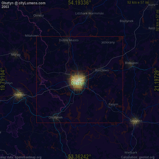
» NASA city lights 2003
» Earth at Night: Flat Maps 2012, 2016