Iława night lights from space
Night Light of Iława (Warmia-Masuria) from space (Poland) Src. Average luminocity for 10x10km area is 15.0947% and for 50x50km: 1.5635%.

Analysis of Iława night lights 2016
Square area 10x10 km:
 3.54%
3.54%90-99
4.55%80-89
0.51%70-79
0%60-69
1.01%50-59
1.52%40-49
2.02%30-39
0%20-29
0.51%10-19
12.63%0-9
73.74%Square area 50x50 km:
0.25%90-99
0.3%80-89
0.1%70-79
0.17%60-69
0.26%50-59
0.19%40-49
0.23%30-39
0.11%20-29
0.08%10-19
0.55%0-9
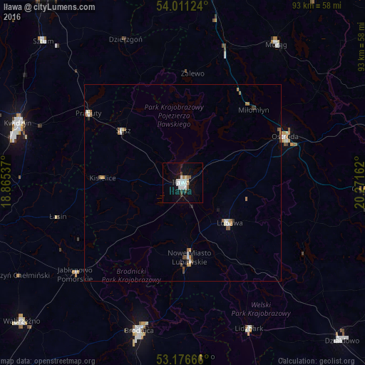
97.76%Clear (daylight) street map image can be seen on geolist.org.
Map coordinates:
54° 0' 40.5" North, 18° 51' 55.3" East
53° 35' 45.6" North, 19° 34' 6.6" East
53° 10' 36" North, 20° 16' 17.8" East
Some cities around Iława sort by population:
• Ostróda
28.4 km =17.6 mi,  66°
66°
• Brodnica
39.1 km =24.3 mi,  196°
196°
• Nowe Miasto Lubawskie
19.6 km =12.2 mi,  174°
174°
• Lubawa
15.7 km =9.8 mi,  130°
130°
• Prabuty
29.7 km =18.5 mi,  306°
306°
• Lidzbark
40.8 km =25.4 mi,  155°
155°
• Susz
20.4 km =12.7 mi, 311°
• Dzierzgoń
39.1 km =24.3 mi,  338°
338°
3097902 (p: 32,557)
Sources (retrieved 2019-11-25):
» Earth at Night: Flat Maps 2012, 2016