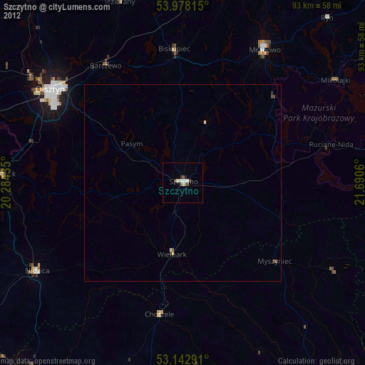
Szczytno night lights from space
Night Light of Szczytno (Warmia-Masuria) from space (Poland) Src. Average luminocity for 10x10km area is 9.7841% and for 50x50km: 0.6237%.
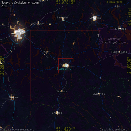
Analysis of Szczytno night lights 2016
Square area 10x10 km:
 1.89%
1.89%90-99
1.39%80-89
0.51%70-79
1.01%60-69
2.27%50-59
1.52%40-49
1.01%30-39
0%20-29
0%10-19
1.52%0-9
88.89%Square area 50x50 km:
0.09%90-99
0.07%80-89
0.04%70-79
0.06%60-69
0.17%50-59
0.09%40-49
0.12%30-39
0.02%20-29
0.12%10-19
0.13%0-9
99.09%Clear (daylight) street map image can be seen on geolist.org.
Map coordinates:
53° 58' 41.3" North, 20° 17' 3.7" East
53° 33' 45.3" North, 20° 59' 14.9" East
53° 8' 34.5" North, 21° 41' 26.2" East
Some cities around Szczytno sort by population:
• Olsztyn
40.5 km =25.2 mi,  306°
306°
• Mrągowo
39.5 km =24.5 mi,  31°
31°
• Pisz
54.9 km =34.1 mi,  82°
82°
• Nidzica
43.3 km =26.9 mi,  238°
238°
• Biskupiec
33.6 km =20.9 mi,  356°
356°
• Olsztynek
46.5 km =28.9 mi,  272°
272°
• Barczewo
35.6 km =22.1 mi,  326°
326°
• Reszel
55.2 km =34.3 mi,  10°
10°
757357 (p: 26,044)
Sources (retrieved 2019-11-25):
» Earth at Night: Flat Maps 2012, 2016