Oleśnica night lights from space
Night Light of Oleśnica (Lower Silesia) from space (Poland) Src. Average luminocity for 10x10km area is 18.923% and for 50x50km: 7.7029%.
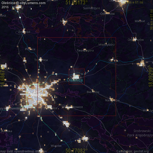
Analysis of Oleśnica night lights 2016
Square area 10x10 km:
 5.32%
5.32%90-99
4.48%80-89
1.96%70-79
0%60-69
0.56%50-59
0.42%40-49
0.7%30-39
1.68%20-29
1.96%10-19
20.73%0-9
62.18%Square area 50x50 km:
1.56%90-99
1.7%80-89
0.73%70-79
0.57%60-69
0.78%50-59
0.79%40-49
0.89%30-39
1.19%20-29
1.97%10-19
4.23%0-9
85.6%Clear (daylight) street map image can be seen on geolist.org.
Map coordinates:
51° 39' 6.2" North, 16° 41' 12.3" East
51° 12' 48.2" North, 17° 23' 23.5" East
50° 46' 15" North, 18° 5' 34.8" East
Some cities around Oleśnica sort by population:
• Jelcz Laskowice
22 km =13.7 mi,  193°
193°
• Jelcz
21.9 km =13.6 mi, 192°
• Zgorzelisko
19.7 km =12.2 mi,  244°
244°
• Zakrzów
18.4 km =11.4 mi,  253°
253°
• Sępolno
23.1 km =14.4 mi, 240°
• Twardogóra
17.7 km =11 mi,  18°
18°
• Psie Pole Południe-Kiełczów
19.7 km =12.2 mi, 248°
• Bierutów
14.7 km =9.1 mi,  132°
132°
3090170 (p: 36,956)
Sources (retrieved 2019-11-25):
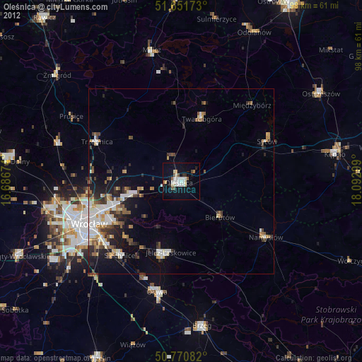
» Earth at Night: Flat Maps 2012, 2016