Dębica night lights from space
Night Light of Dębica (Subcarpathia) from space (Poland) Src. Average luminocity for 10x10km area is 30.7171% and for 50x50km: 3.3824%.
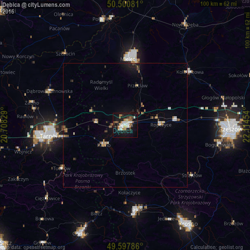
Analysis of Dębica night lights 2016
Square area 10x10 km:
 5.88%
5.88%90-99
6.44%80-89
1.82%70-79
2.94%60-69
6.16%50-59
2.38%40-49
2.1%30-39
2.66%20-29
3.5%10-19
38.94%0-9
27.17%Square area 50x50 km:
0.4%90-99
0.44%80-89
0.31%70-79
0.35%60-69
0.52%50-59
0.4%40-49
0.47%30-39
0.38%20-29
0.45%10-19
2.64%0-9
93.64%Clear (daylight) street map image can be seen on geolist.org.
Map coordinates:
50° 30' 2.9" North, 20° 42' 29.8" East
50° 3' 5.3" North, 21° 24' 41.1" East
49° 35' 52.3" North, 22° 6' 52.3" East
Some cities around Dębica sort by population:
• Tarnów
30.6 km =19 mi,  262°
262°
• Mielec
26.2 km =16.3 mi,  1°
1°
• Ropczyce
14.1 km =8.8 mi,  89°
89°
• Dąbrowa Tarnowska
33.3 km =20.7 mi,  294°
294°
• Kolbuszowa
33.7 km =20.9 mi,  50°
50°
• Strzyżów
34 km =21.1 mi,  126°
126°
• Sędziszów Małopolski
20.8 km =12.9 mi,  84°
84°
• Tuchów
30.9 km =19.2 mi,  235°
235°
773380 (p: 47,366)
Sources (retrieved 2019-11-25):
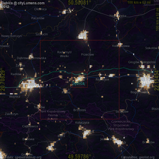
» Earth at Night: Flat Maps 2012, 2016