Czarne night lights from space
Night Light of Czarne (Pomerania) from space (Poland) Src. Average luminocity for 10x10km area is 2.5442% and for 50x50km: 1.1447%.
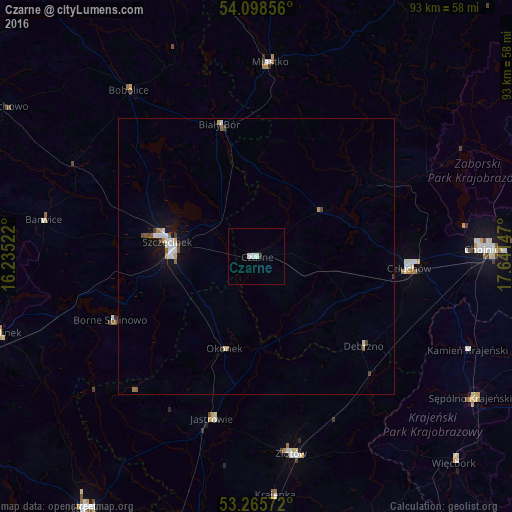
Analysis of Czarne night lights 2016
Square area 10x10 km:
 1.01%
1.01%90-99
1.01%80-89
0%70-79
0%60-69
0%50-59
0%40-49
0%30-39
0.51%20-29
0%10-19
0%0-9
97.47%Square area 50x50 km:
0.25%90-99
0.22%80-89
0.07%70-79
0.08%60-69
0.1%50-59
0.15%40-49
0.15%30-39
0.1%20-29
0.02%10-19
0.79%0-9
98.06%Clear (daylight) street map image can be seen on geolist.org.
Map coordinates:
54° 5' 54.8" North, 16° 14' 6.8" East
53° 41' 3.1" North, 16° 56' 18" East
53° 15' 56.6" North, 17° 38' 29.3" East
Some cities around Czarne sort by population:
• Chojnice
40.8 km =25.4 mi,  88°
88°
• Szczecinek
16 km =9.9 mi,  279°
279°
• Złotów
36.3 km =22.6 mi,  169°
169°
• Człuchów
27.8 km =17.3 mi, 93°
• Miastko
35.5 km =22.1 mi,  4°
4°
• Sępólno Krajeńskie
46.9 km =29.1 mi,  123°
123°
• Jastrowie
30.4 km =18.9 mi,  195°
195°
• Debrzno
25.5 km =15.8 mi,  129°
129°
3101161 (p: 6,035)
Sources (retrieved 2019-11-25):
» Earth at Night: Flat Maps 2012, 2016