Szczecinek night lights from space
Night Light of Szczecinek (West Pomerania) from space (Poland) Src. Average luminocity for 10x10km area is 19.2942% and for 50x50km: 1.1578%.
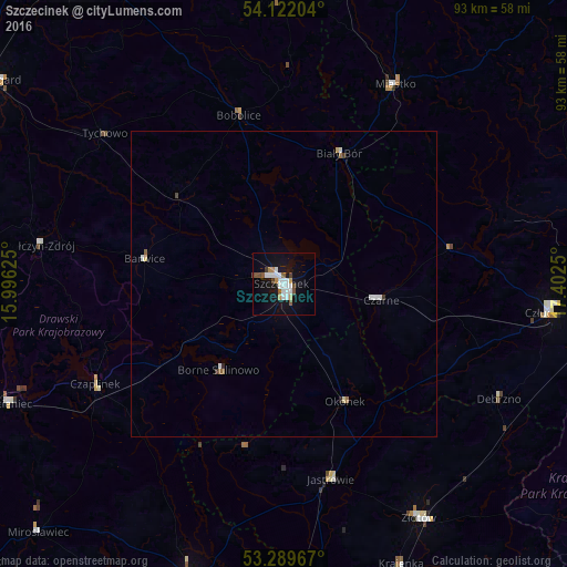
Analysis of Szczecinek night lights 2016
Square area 10x10 km:
 5.18%
5.18%90-99
3.91%80-89
0.88%70-79
1.14%60-69
1.01%50-59
2.65%40-49
2.15%30-39
1.01%20-29
0%10-19
19.7%0-9
62.37%Square area 50x50 km:
0.27%90-99
0.23%80-89
0.08%70-79
0.07%60-69
0.09%50-59
0.16%40-49
0.13%30-39
0.09%20-29
0.04%10-19
0.79%0-9
98.05%Clear (daylight) street map image can be seen on geolist.org.
Map coordinates:
54° 7' 19.3" North, 15° 59' 46.5" East
53° 42' 28.5" North, 16° 41' 57.7" East
53° 17' 22.8" North, 17° 24' 9" East
Some cities around Szczecinek sort by population:
• Złotów
44.5 km =27.7 mi,  149°
149°
• Człuchów
43.7 km =27.2 mi,  95°
95°
• Miastko
37.7 km =23.4 mi,  29°
29°
• Połczyn-Zdrój
40.2 km =25 mi,  278°
278°
• Jastrowie
32.9 km =20.4 mi,  166°
166°
• Czaplinek
35 km =21.7 mi,  241°
241°
• Czarne
16 km =9.9 mi, 99°
• Debrzno
40.1 km =24.9 mi,  118°
118°
3083826 (p: 38,496)
Sources (retrieved 2019-11-25):
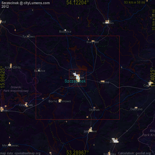
» Earth at Night: Flat Maps 2012, 2016