Chojnice night lights from space
Night Light of Chojnice (Pomerania) from space (Poland) Src. Average luminocity for 10x10km area is 20.0758% and for 50x50km: 1.7453%.
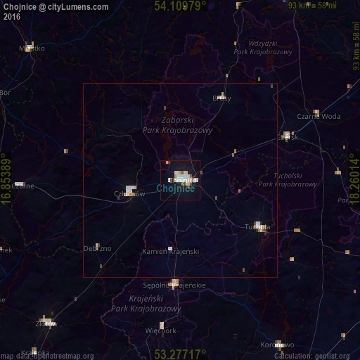
Analysis of Chojnice night lights 2016
Square area 10x10 km:
 4.92%
4.92%90-99
5.05%80-89
1.77%70-79
1.39%60-69
1.01%50-59
0.51%40-49
1.64%30-39
1.39%20-29
0%10-19
23.86%0-9
58.46%Square area 50x50 km:
0.34%90-99
0.4%80-89
0.15%70-79
0.13%60-69
0.14%50-59
0.17%40-49
0.16%30-39
0.16%20-29
0.08%10-19
0.97%0-9
97.3%Clear (daylight) street map image can be seen on geolist.org.
Map coordinates:
54° 6' 35.2" North, 16° 51' 14" East
53° 41' 43.9" North, 17° 33' 25.2" East
53° 16' 37.8" North, 18° 15' 36.5" East
Some cities around Chojnice sort by population:
• Człuchów
13.4 km =8.3 mi,  256°
256°
• Tuchola
23.2 km =14.4 mi,  121°
121°
• Koronowo
49.3 km =30.6 mi,  149°
149°
• Czersk
29.8 km =18.5 mi,  67°
67°
• Sępólno Krajeńskie
27.1 km =16.8 mi,  183°
183°
• Czarne
40.8 km =25.4 mi,  268°
268°
• Więcbork
38.2 km =23.7 mi,  186°
186°
• Debrzno
27.4 km =17 mi,  230°
230°
3101672 (p: 39,407)
Sources (retrieved 2019-11-25):
» Earth at Night: Flat Maps 2012, 2016