Guben night lights from space
Night Light of Guben (Brandenburg) from space (Germany) Src. Average luminocity for 10x10km area is 12.9015% and for 50x50km: 2.2991%.
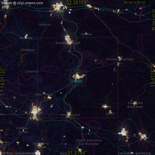
Analysis of Guben night lights 2016
Square area 10x10 km:
 1.14%
1.14%90-99
1.39%80-89
1.52%70-79
2.02%60-69
1.64%50-59
2.65%40-49
2.65%30-39
1.64%20-29
1.01%10-19
2.27%0-9
82.07%Square area 50x50 km:
0.23%90-99
0.27%80-89
0.21%70-79
0.31%60-69
0.48%50-59
0.3%40-49
0.42%30-39
0.34%20-29
0.08%10-19
1.32%0-9
96.03%Clear (daylight) street map image can be seen on geolist.org.
Map coordinates:
52° 22' 52.1" North, 14° 0' 40.9" East
51° 56' 59.5" North, 14° 42' 52.1" East
51° 30' 51.8" North, 15° 25' 3.4" East
Some cities around Guben sort by population:
• Cottbus
34 km =21.1 mi,  231°
231°
• Eisenhüttenstadt
22.7 km =14.1 mi,  348°
348°
• Forst
24.4 km =15.2 mi,  192°
192°
• Gubin, PL
1 km =0.6 mi,  92°
92°
• Lubsko, PL
25.5 km =15.8 mi,  136°
136°
• Krosno Odrzańskie, PL
28.8 km =17.9 mi,  66°
66°
• Kolkwitz
38.9 km =24.2 mi,  235°
235°
• Peitz
23.1 km =14.4 mi, 243°
2913922 (p: 21,608)
Sources (retrieved 2019-11-25):
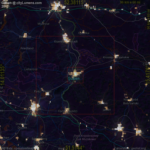
» Earth at Night: Flat Maps 2012, 2016