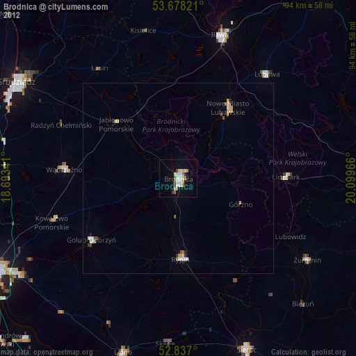
Brodnica night lights from space
Night Light of Brodnica (Kujawsko-Pomorskie) from space (Poland) Src. Average luminocity for 10x10km area is 17.2715% and for 50x50km: 1.6834%.
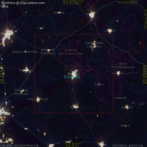
Analysis of Brodnica night lights 2016
Square area 10x10 km:
 4.17%
4.17%90-99
3.41%80-89
2.27%70-79
1.77%60-69
1.01%50-59
1.01%40-49
0.51%30-39
1.01%20-29
0%10-19
17.55%0-9
67.3%Square area 50x50 km:
0.3%90-99
0.28%80-89
0.13%70-79
0.24%60-69
0.22%50-59
0.13%40-49
0.21%30-39
0.2%20-29
0.05%10-19
0.75%0-9
97.51%Clear (daylight) street map image can be seen on geolist.org.
Map coordinates:
53° 40' 41.6" North, 18° 41' 36.3" East
53° 15' 34.8" North, 19° 23' 47.5" East
52° 50' 13.2" North, 20° 5' 58.8" East
Some cities around Brodnica sort by population:
• Iława
39.1 km =24.3 mi,  16°
16°
• Rypin
21.5 km =13.4 mi,  177°
177°
• Wąbrzeźno
29.9 km =18.6 mi,  274°
274°
• Golub-Dobrzyń
28.2 km =17.5 mi,  234°
234°
• Nowe Miasto Lubawskie
22.2 km =13.8 mi,  36°
36°
• Lubawa
35.9 km =22.3 mi, 40°
• Żuromin
40.4 km =25.1 mi,  122°
122°
• Lidzbark
28.6 km =17.8 mi,  89°
89°
3102627 (p: 27,341)
Sources (retrieved 2019-11-25):
» Earth at Night: Flat Maps 2012, 2016