Kościerzyna night lights from space
Night Light of Kościerzyna (Pomerania) from space (Poland) Src. Average luminocity for 10x10km area is 8.4381% and for 50x50km: 1.2541%.
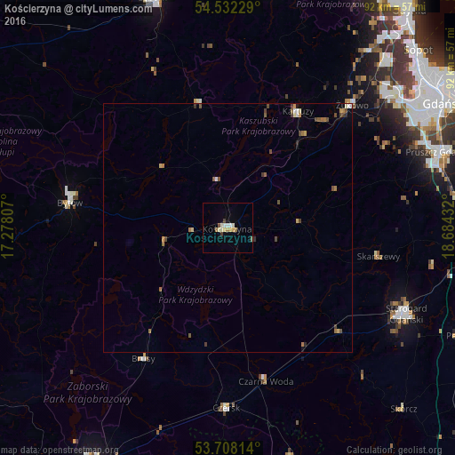
Analysis of Kościerzyna night lights 2016
Square area 10x10 km:
 0.88%
0.88%90-99
2.4%80-89
0.63%70-79
1.14%60-69
1.52%50-59
0.38%40-49
0.88%30-39
0.51%20-29
0%10-19
0%0-9
91.67%Square area 50x50 km:
0.08%90-99
0.19%80-89
0.14%70-79
0.15%60-69
0.27%50-59
0.22%40-49
0.31%30-39
0.2%20-29
0.07%10-19
0.05%0-9
98.33%Clear (daylight) street map image can be seen on geolist.org.
Map coordinates:
54° 31' 56.2" North, 17° 16' 41.1" East
54° 7' 20.1" North, 17° 58' 52.3" East
53° 42' 29.3" North, 18° 41' 3.6" East
Some cities around Kościerzyna sort by population:
• Starogard Gdański
39.7 km =24.7 mi,  116°
116°
• Pruszcz Gdański
45.4 km =28.2 mi,  69°
69°
• Bytów
32.3 km =20.1 mi,  279°
279°
• Kartuzy
27.4 km =17 mi,  30°
30°
• Czersk
36.3 km =22.6 mi,  180°
180°
• Sierakowice
25.5 km =15.8 mi,  346°
346°
• Skarszewy
30.8 km =19.1 mi,  101°
101°
• Żukowo
34.9 km =21.7 mi,  45°
45°
3095126 (p: 23,361)
Sources (retrieved 2019-11-25):
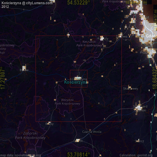
» Earth at Night: Flat Maps 2012, 2016