Krotoszyn night lights from space
Night Light of Krotoszyn (Greater Poland) from space (Poland) Src. Average luminocity for 10x10km area is 15.3249% and for 50x50km: 2.4767%.
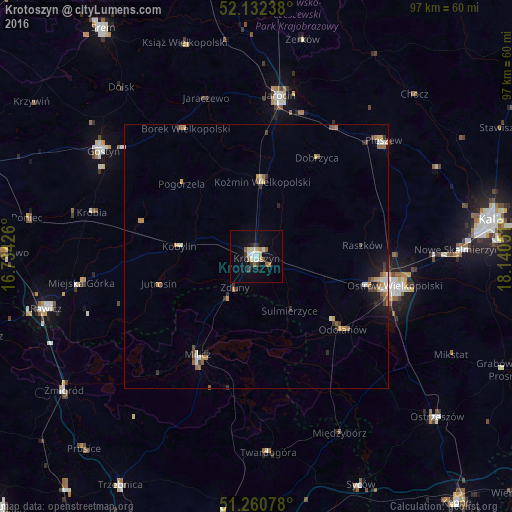
Analysis of Krotoszyn night lights 2016
Square area 10x10 km:
 1.68%
1.68%90-99
3.64%80-89
1.26%70-79
2.38%60-69
0.84%50-59
2.52%40-49
0.56%30-39
2.38%20-29
0.98%10-19
7%0-9
76.75%Square area 50x50 km:
0.2%90-99
0.44%80-89
0.19%70-79
0.45%60-69
0.33%50-59
0.39%40-49
0.3%30-39
0.42%20-29
0.27%10-19
1.07%0-9
95.94%Clear (daylight) street map image can be seen on geolist.org.
Map coordinates:
52° 7' 56.6" North, 16° 44' 3.3" East
51° 41' 55.2" North, 17° 26' 14.6" East
51° 15' 38.8" North, 18° 8' 25.8" East
Some cities around Krotoszyn sort by population:
• Ostrów Wielkopolski
25.9 km =16.1 mi,  100°
100°
• Jarocin
30.8 km =19.1 mi,  8°
8°
• Rawicz
41.1 km =25.5 mi,  256°
256°
• Gostyń
35.7 km =22.2 mi,  304°
304°
• Pleszew
32.5 km =20.2 mi,  47°
47°
• Milicz
22.2 km =13.8 mi,  211°
211°
• Twardogóra
37.2 km =23.1 mi,  176°
176°
• Koźmin Wielkopolski
14.3 km =8.9 mi,  4°
4°
3094625 (p: 29,231)
Sources (retrieved 2019-11-25):
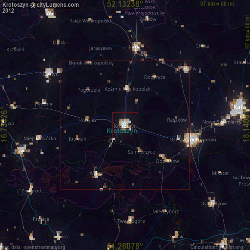
» Earth at Night: Flat Maps 2012, 2016