Jelenia Góra night lights from space
Night Light of Jelenia Góra (Lower Silesia) from space (Poland) Src. Average luminocity for 10x10km area is 31.8053% and for 50x50km: 2.9517%.
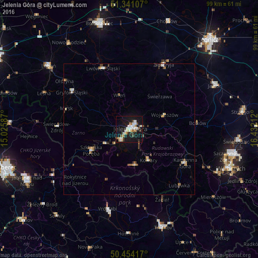
Analysis of Jelenia Góra night lights 2016
Square area 10x10 km:
 6.3%
6.3%90-99
8.12%80-89
3.22%70-79
2.24%60-69
3.92%50-59
1.12%40-49
1.96%30-39
4.2%20-29
2.52%10-19
43.28%0-9
23.11%Square area 50x50 km:
0.42%90-99
0.47%80-89
0.39%70-79
0.22%60-69
0.42%50-59
0.28%40-49
0.41%30-39
0.42%20-29
0.36%10-19
1.99%0-9
94.62%Clear (daylight) street map image can be seen on geolist.org.
Map coordinates:
51° 20' 27.9" North, 15° 1' 33.1" East
50° 53' 59" North, 15° 43' 44.4" East
50° 27' 15" North, 16° 25' 55.6" East
Some cities around Jelenia Góra sort by population:
• Kamienna Góra
24.8 km =15.4 mi,  121°
121°
• Cieplice Śląskie Zdrój
5 km =3.1 mi,  219°
219°
• Kowary
14 km =8.7 mi,  147°
147°
• Lwówek Śląski
25.5 km =15.8 mi,  336°
336°
• Szklarska Poręba
16.7 km =10.4 mi,  240°
240°
• Gryfów Śląski
26.1 km =16.2 mi,  303°
303°
• Piechowice
10.7 km =6.6 mi, 238°
• Mysłakowice
7.4 km =4.6 mi, 151°
3097257 (p: 87,310)
Sources (retrieved 2019-11-25):
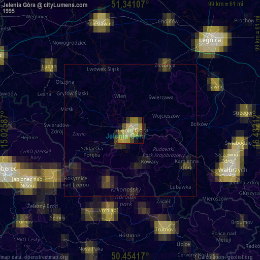
» NASA, Earths city lights 1995
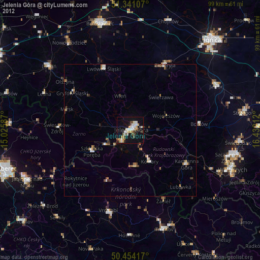
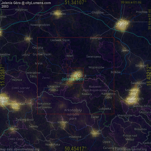
» NASA city lights 2003
» Earth at Night: Flat Maps 2012, 2016