Kamienna Góra night lights from space
Night Light of Kamienna Góra (Lower Silesia) from space (Poland) Src. Average luminocity for 10x10km area is 4.2969% and for 50x50km: 5.8506%.
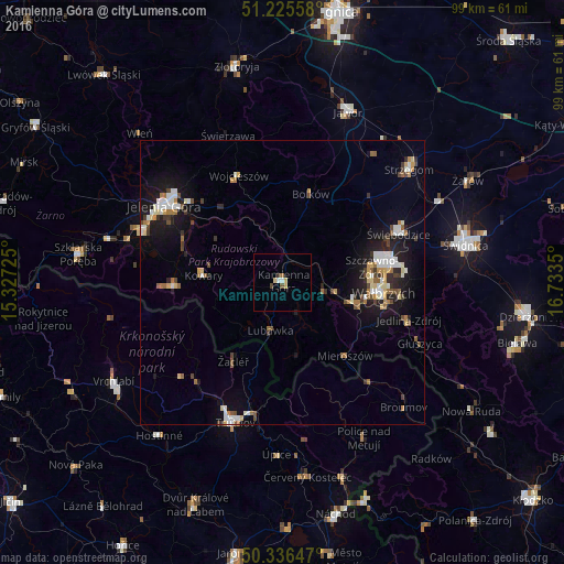
Analysis of Kamienna Góra night lights 2016
Square area 10x10 km:
 0.56%
0.56%90-99
0.56%80-89
1.54%70-79
0.14%60-69
0.56%50-59
0.14%40-49
0.98%30-39
0.56%20-29
0%10-19
0%0-9
94.96%Square area 50x50 km:
0.79%90-99
1.1%80-89
0.67%70-79
0.49%60-69
0.74%50-59
0.6%40-49
0.78%30-39
0.67%20-29
1.13%10-19
4.74%0-9
88.3%Clear (daylight) street map image can be seen on geolist.org.
Map coordinates:
51° 13' 32.1" North, 15° 19' 38.1" East
50° 46' 59.3" North, 16° 1' 49.3" East
50° 20' 11.3" North, 16° 44' 0.6" East
Some cities around Kamienna Góra sort by population:
• Wałbrzych
17.9 km =11.1 mi,  94°
94°
• Świebodzice
22 km =13.7 mi,  67°
67°
• Boguszów-Gorce
12.7 km =7.9 mi,  104°
104°
• Kowary
13.7 km =8.5 mi,  274°
274°
• Lubawka
9 km =5.6 mi,  193°
193°
• Szczawno-Zdrój
16.1 km =10 mi,  81°
81°
• Bolków
16.2 km =10.1 mi,  17°
17°
• Mysłakowice
18.8 km =11.7 mi,  290°
290°
3096779 (p: 21,743)
Sources (retrieved 2019-11-25):
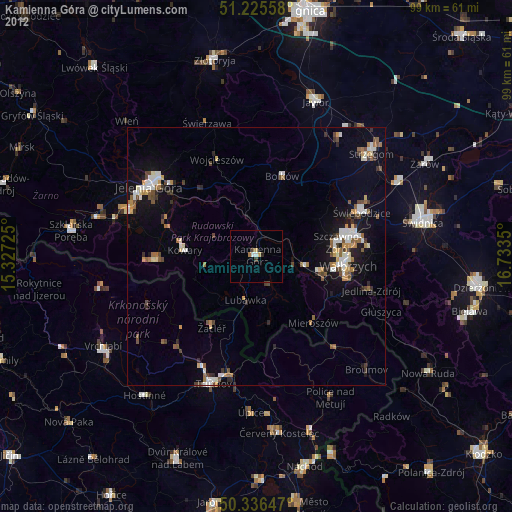
» Earth at Night: Flat Maps 2012, 2016