Śrem night lights from space
Night Light of Śrem (Greater Poland) from space (Poland) Src. Average luminocity for 10x10km area is 13.2976% and for 50x50km: 4.3618%.
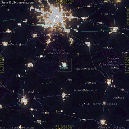
Analysis of Śrem night lights 2016
Square area 10x10 km:
 3.44%
3.44%90-99
2.65%80-89
0.79%70-79
1.32%60-69
0.79%50-59
0.53%40-49
1.59%30-39
0.53%20-29
1.46%10-19
5.82%0-9
81.08%Square area 50x50 km:
0.54%90-99
0.74%80-89
0.3%70-79
0.36%60-69
0.48%50-59
0.44%40-49
0.64%30-39
0.47%20-29
1.03%10-19
3.69%0-9
91.32%Clear (daylight) street map image can be seen on geolist.org.
Map coordinates:
52° 31' 7" North, 16° 18' 43.1" East
52° 5' 19.2" North, 17° 0' 54.3" East
51° 39' 16.4" North, 17° 43' 5.6" East
Some cities around Śrem sort by population:
• Luboń
29.9 km =18.6 mi,  343°
343°
• Kościan
25 km =15.5 mi,  269°
269°
• Środa Wielkopolska
23.6 km =14.7 mi,  48°
48°
• Gostyń
22.9 km =14.2 mi,  180°
180°
• Mosina
20.9 km =13 mi,  326°
326°
• Puszczykowo
24.7 km =15.3 mi, 332°
• Kórnik
18.4 km =11.4 mi,  16°
16°
• Czempiń
18.2 km =11.3 mi,  289°
289°
3085056 (p: 30,404)
Sources (retrieved 2019-11-25):
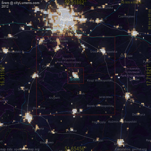
» Earth at Night: Flat Maps 2012, 2016