Goleniów night lights from space
Night Light of Goleniów (West Pomerania) from space (Poland) Src. Average luminocity for 10x10km area is 12.0038% and for 50x50km: 8.874%.
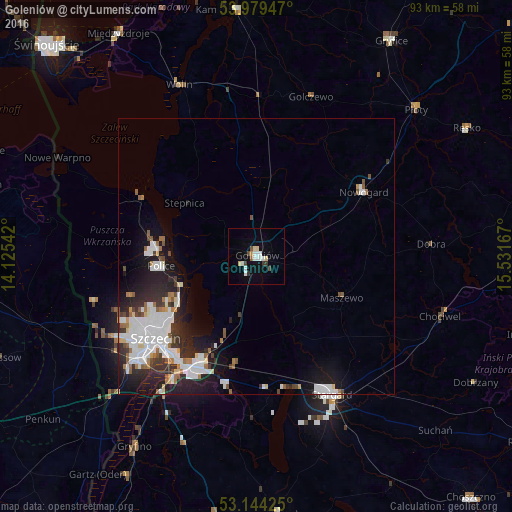
Analysis of Goleniów night lights 2016
Square area 10x10 km:
 2.53%
2.53%90-99
2.78%80-89
1.77%70-79
0.51%60-69
0.25%50-59
0.63%40-49
1.64%30-39
1.39%20-29
0.13%10-19
2.78%0-9
85.61%Square area 50x50 km:
2.5%90-99
2.16%80-89
0.55%70-79
0.3%60-69
0.91%50-59
0.75%40-49
0.61%30-39
1.03%20-29
2.78%10-19
5.24%0-9
83.18%Clear (daylight) street map image can be seen on geolist.org.
Map coordinates:
53° 58' 46.1" North, 14° 7' 31.5" East
53° 33' 50.1" North, 14° 49' 42.7" East
53° 8' 39.3" North, 15° 31' 54" East
Some cities around Goleniów sort by population:
• Szczecin
23.6 km =14.7 mi,  230°
230°
• Stargard
29.2 km =18.1 mi,  149°
149°
• Police
17 km =10.6 mi,  265°
265°
• Gryfino
41.3 km =25.7 mi,  213°
213°
• Gryfice
46.2 km =28.7 mi,  31°
31°
• Nowogard
22.6 km =14 mi,  57°
57°
• Wolin
34 km =21.1 mi,  335°
335°
• Kamień Pomorski
45.1 km =28 mi,  355°
355°
3098966 (p: 22,505)
Sources (retrieved 2019-11-25):
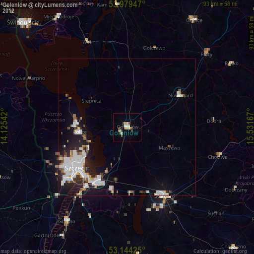
» Earth at Night: Flat Maps 2012, 2016