Gryfino night lights from space
Night Light of Gryfino (West Pomerania) from space (Poland) Src. Average luminocity for 10x10km area is 4.5707% and for 50x50km: 7.9658%.
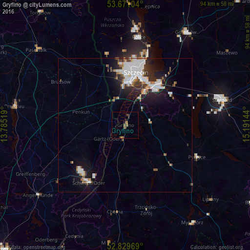
Analysis of Gryfino night lights 2016
Square area 10x10 km:
 0%
0%90-99
0%80-89
0%70-79
1.01%60-69
1.26%50-59
1.64%40-49
0.76%30-39
2.27%20-29
0.25%10-19
1.39%0-9
91.41%Square area 50x50 km:
2.2%90-99
1.83%80-89
0.47%70-79
0.34%60-69
0.92%50-59
0.88%40-49
0.5%30-39
0.93%20-29
2.15%10-19
4.63%0-9
85.15%Clear (daylight) street map image can be seen on geolist.org.
Map coordinates:
53° 40' 15.7" North, 13° 47' 6.7" East
53° 15' 8.7" North, 14° 29' 17.9" East
52° 49' 46.9" North, 15° 11' 29.2" East
Some cities around Gryfino sort by population:
• Szczecin
20.1 km =12.5 mi,  12°
12°
• Stargard
38.5 km =23.9 mi,  75°
75°
• Schwedt (Oder), DE
25.5 km =15.8 mi,  212°
212°
• Police
33.8 km =21 mi, 9°
• Goleniów
41.3 km =25.7 mi,  33°
33°
• Angermünde, DE
42 km =26.1 mi,  231°
231°
• Pyrzyce
29.4 km =18.3 mi,  113°
113°
• Chojna
32.3 km =20.1 mi,  187°
187°
3098200 (p: 21,270)
Sources (retrieved 2019-11-25):
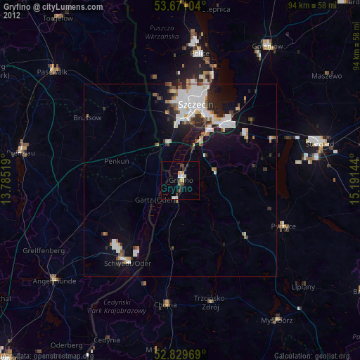
» Earth at Night: Flat Maps 2012, 2016