Nowogard night lights from space
Night Light of Nowogard (West Pomerania) from space (Poland) Src. Average luminocity for 10x10km area is 3.8712% and for 50x50km: 1.015%.
Analysis of Nowogard night lights 2016
Square area 10x10 km:
 0.88%
0.88%90-99
0.63%80-89
0%70-79
0.25%60-69
0.76%50-59
1.26%40-49
0.76%30-39
0.13%20-29
0%10-19
0%0-9
95.33%Square area 50x50 km:
0.15%90-99
0.16%80-89
0.08%70-79
0.1%60-69
0.16%50-59
0.18%40-49
0.22%30-39
0.1%20-29
0.03%10-19
0.17%0-9
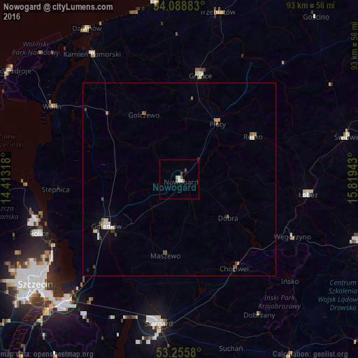
98.66%Clear (daylight) street map image can be seen on geolist.org.
Map coordinates:
54° 5' 19.8" North, 14° 24' 47.4" East
53° 40' 27.7" North, 15° 6' 58.7" East
53° 15' 20.9" North, 15° 49' 9.9" East
Some cities around Nowogard sort by population:
• Stargard
37.8 km =23.5 mi,  186°
186°
• Police
38.4 km =23.9 mi,  249°
249°
• Goleniów
22.6 km =14 mi,  237°
237°
• Gryfice
27.5 km =17.1 mi,  11°
11°
• Wolin
37.9 km =23.5 mi,  299°
299°
• Łobez
33.5 km =20.8 mi,  96°
96°
• Trzebiatów
44.1 km =27.4 mi, 12°
• Kamień Pomorski
39.7 km =24.7 mi,  325°
325°
3090558 (p: 16,703)
Sources (retrieved 2019-11-25):
» Earth at Night: Flat Maps 2012, 2016