Stargard night lights from space
Night Light of Stargard (West Pomerania) from space (Poland) Src. Average luminocity for 10x10km area is 24.8295% and for 50x50km: 2.9006%.
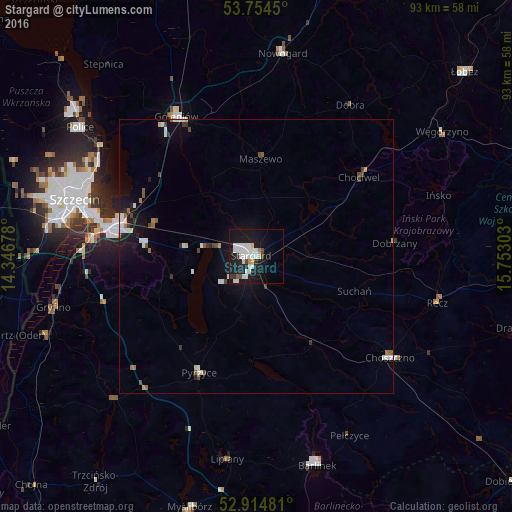

Analysis of Stargard night lights 2016
Square area 10x10 km:
 7.7%
7.7%90-99
7.07%80-89
1.14%70-79
1.01%60-69
0.51%50-59
0.63%40-49
1.64%30-39
2.15%20-29
2.65%10-19
33.71%0-9
41.79%Square area 50x50 km:
0.64%90-99
0.61%80-89
0.19%70-79
0.09%60-69
0.22%50-59
0.26%40-49
0.41%30-39
0.31%20-29
0.3%10-19
2.59%0-9
94.39%Clear (daylight) street map image can be seen on geolist.org.
Map coordinates:
53° 45' 16.2" North, 14° 20' 48.4" East
53° 20' 12.2" North, 15° 2' 59.6" East
52° 54' 53.3" North, 15° 45' 10.9" East
Some cities around Stargard sort by population:
• Szczecin
34.5 km =21.4 mi,  287°
287°
• Police
39.7 km =24.7 mi,  307°
307°
• Goleniów
29.2 km =18.1 mi,  329°
329°
• Gryfino
38.5 km =23.9 mi,  255°
255°
• Nowogard
37.8 km =23.5 mi,  6°
6°
• Choszczno
30.9 km =19.2 mi,  127°
127°
• Barlinek
39.7 km =24.7 mi,  163°
163°
• Pyrzyce
23.6 km =14.7 mi,  206°
206°
3084840 (p: 71,224)
Sources (retrieved 2019-11-25):
» NASA, Earths city lights 1995
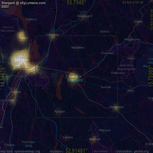
» NASA city lights 2003
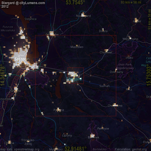
» Earth at Night: Flat Maps 2012, 2016