Wolin night lights from space
Night Light of Wolin (West Pomerania) from space (Poland) Src. Average luminocity for 10x10km area is 1.8082% and for 50x50km: 1.7682%.
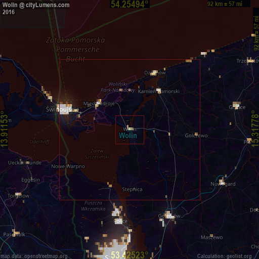
Analysis of Wolin night lights 2016
Square area 10x10 km:
 0%
0%90-99
0%80-89
0.79%70-79
0.26%60-69
0.26%50-59
0.4%40-49
0.93%30-39
0%20-29
0%10-19
0%0-9
97.35%Square area 50x50 km:
0.32%90-99
0.4%80-89
0.17%70-79
0.09%60-69
0.19%50-59
0.23%40-49
0.18%30-39
0.13%20-29
0.18%10-19
1.4%0-9
96.7%Clear (daylight) street map image can be seen on geolist.org.
Map coordinates:
54° 15' 17.8" North, 13° 54' 41.5" East
53° 50' 31.7" North, 14° 36' 52.7" East
53° 25' 30.8" North, 15° 19' 4" East
Some cities around Wolin sort by population:
• Świnoujście
25.3 km =15.7 mi,  287°
287°
• Police
32.4 km =20.1 mi,  184°
184°
• Goleniów
34 km =21.1 mi,  155°
155°
• Gryfice
39.3 km =24.4 mi,  77°
77°
• Nowogard
37.9 km =23.5 mi,  119°
119°
• Ueckermünde, DE
39.2 km =24.4 mi,  252°
252°
• Kamień Pomorski
17.4 km =10.8 mi,  36°
36°
• Międzyzdroje
14.4 km =8.9 mi,  312°
312°
3081471 (p: 12,438)
Sources (retrieved 2019-11-25):
» Earth at Night: Flat Maps 2012, 2016