Częstochowa night lights from space
Night Light of Częstochowa (Silesia) from space (Poland) Src. Average luminocity for 10x10km area is 71.2801% and for 50x50km: 6.2196%.
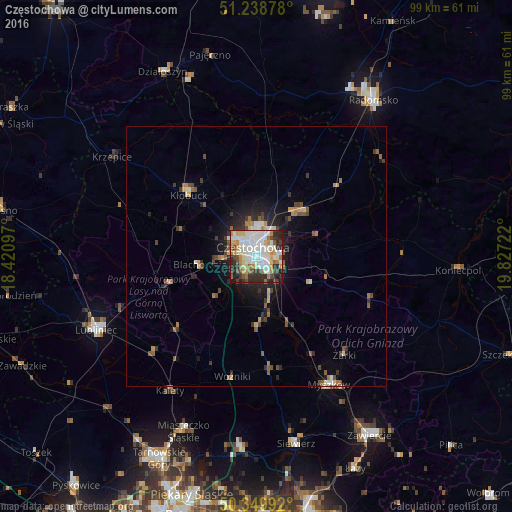
Analysis of Częstochowa night lights 2016
Square area 10x10 km:
 23.95%
90-99
20.31%80-89
7.7%70-79
7.56%60-69
7.14%50-59
3.36%40-49
6.86%30-39
6.44%20-29
14.29%10-19
2.38%0-9
0%Square area 50x50 km:
1.03%90-99
1.04%80-89
0.62%70-79
0.61%60-69
0.75%50-59
0.83%40-49
1.02%30-39
0.97%20-29
1.65%10-19
3.3%0-9
88.18%Clear (daylight) street map image can be seen on geolist.org.
Map coordinates:
51° 14' 19.6" North, 18° 25' 15.5" East
50° 47' 47.3" North, 19° 7' 26.7" East
50° 20' 59.7" North, 19° 49' 38" East
Some cities around Częstochowa sort by population:
• Myszków
28.4 km =17.6 mi,  150°
150°
• Lubliniec
34 km =21.1 mi,  245°
245°
• Kłobuck
17.5 km =10.9 mi,  311°
311°
• Blachownia
11.4 km =7.1 mi,  260°
260°
• Poręba
37.5 km =23.3 mi,  156°
156°
• Kalety
30.7 km =19.1 mi,  212°
212°
• Miasteczko Śląskie
35.2 km =21.9 mi,  201°
201°
• Siewierz
37.4 km =23.2 mi,  168°
168°
3100946 (p: 248,125)
Sources (retrieved 2019-11-25):
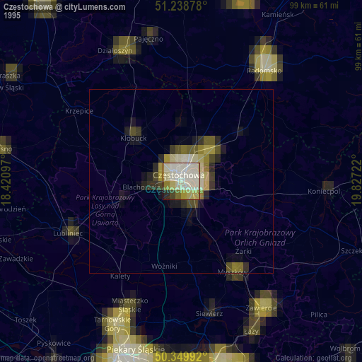
» NASA, Earths city lights 1995
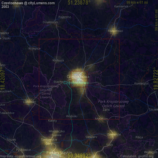
» NASA city lights 2003
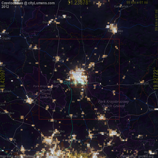
» Earth at Night: Flat Maps 2012, 2016