Czerwionka-Leszczyny night lights from space
Night Light of Czerwionka-Leszczyny (Silesia) from space (Poland) Src. Average luminocity for 10x10km area is 18.0682% and for 50x50km: 33.2193%.
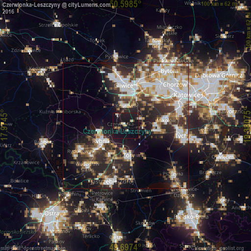
Analysis of Czerwionka-Leszczyny night lights 2016
Square area 10x10 km:
 0.8%
0.8%90-99
2.94%80-89
1.87%70-79
0.94%60-69
0.4%50-59
2.01%40-49
2.81%30-39
1.47%20-29
3.61%10-19
39.17%0-9
43.98%Square area 50x50 km:
7.43%90-99
7.73%80-89
2.43%70-79
3.26%60-69
3.82%50-59
3.8%40-49
4.81%30-39
5.59%20-29
9.9%10-19
13.76%0-9
37.47%Clear (daylight) street map image can be seen on geolist.org.
Map coordinates:
50° 35' 54.6" North, 17° 58' 28.2" East
50° 9' 0.3" North, 18° 40' 39.4" East
49° 41' 50.6" North, 19° 22' 50.7" East
Some cities around Czerwionka-Leszczyny sort by population:
• Rybnik
11.3 km =7 mi,  238°
238°
• Żory
11.8 km =7.3 mi,  171°
171°
• Knurów
8 km =5 mi,  346°
346°
• Mikołów
16.3 km =10.1 mi,  81°
81°
• Łaziska Górne
11.7 km =7.3 mi,  90°
90°
• Orzesze
7.3 km =4.5 mi, 84°
• Niedobczyce
16.1 km =10 mi,  234°
234°
• Ornontowice
7.3 km =4.5 mi,  48°
48°
3100974 (p: 28,740)
Sources (retrieved 2019-11-25):
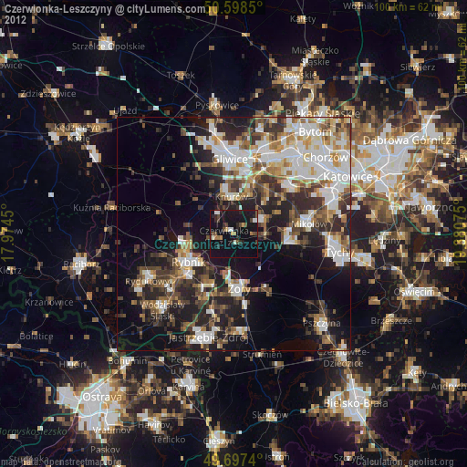
» Earth at Night: Flat Maps 2012, 2016