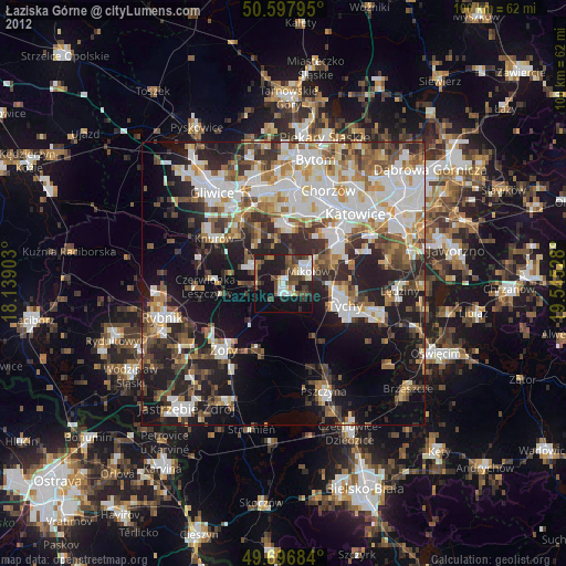
Łaziska Górne night lights from space
Night Light of Łaziska Górne (Silesia) from space (Poland) Src. Average luminocity for 10x10km area is 41.0508% and for 50x50km: 41.547%.
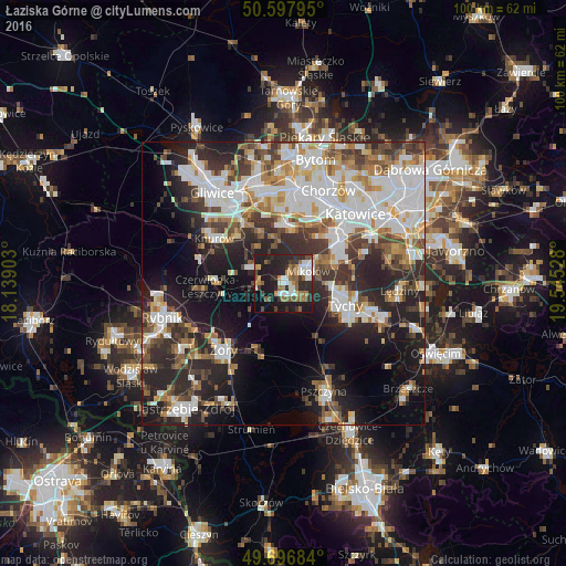
Analysis of Łaziska Górne night lights 2016
Square area 10x10 km:
 6.42%
6.42%90-99
8.29%80-89
0.67%70-79
5.21%60-69
7.09%50-59
7.35%40-49
4.55%30-39
6.82%20-29
17.25%10-19
31.82%0-9
4.55%Square area 50x50 km:
10.36%90-99
10%80-89
3.13%70-79
4.2%60-69
4.74%50-59
4.52%40-49
5.23%30-39
6.12%20-29
11.86%10-19
14.58%0-9
25.26%Clear (daylight) street map image can be seen on geolist.org.
Map coordinates:
50° 35' 52.6" North, 18° 8' 20.5" East
50° 8' 58.3" North, 18° 50' 31.7" East
49° 41' 48.6" North, 19° 32' 43" East
Some cities around Łaziska Górne sort by population:
• Ruda Śląska
12.1 km =7.5 mi,  4°
4°
• Tychy
9 km =5.6 mi,  98°
98°
• Żory
15.4 km =9.6 mi,  221°
221°
• Mikołów
5 km =3.1 mi,  61°
61°
• Czerwionka-Leszczyny
11.7 km =7.3 mi,  270°
270°
• Orzesze
4.5 km =2.8 mi,  279°
279°
• Murcki
15.4 km =9.6 mi,  68°
68°
• Ornontowice
8 km =5 mi,  308°
308°
3093785 (p: 21,983)
Sources (retrieved 2019-11-25):
» Earth at Night: Flat Maps 2012, 2016