Czechowice-Dziedzice night lights from space
Night Light of Czechowice-Dziedzice (Silesia) from space (Poland) Src. Average luminocity for 10x10km area is 35.0364% and for 50x50km: 17.7863%.
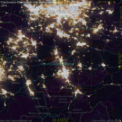
Analysis of Czechowice-Dziedzice night lights 2016
Square area 10x10 km:
 4.06%
4.06%90-99
5.18%80-89
3.08%70-79
3.5%60-69
5.46%50-59
4.2%40-49
5.88%30-39
6.16%20-29
23.81%10-19
26.89%0-9
11.76%Square area 50x50 km:
2.87%90-99
2.99%80-89
1%70-79
1.29%60-69
2.1%50-59
2.23%40-49
2.63%30-39
3.14%20-29
5.97%10-19
17.52%0-9
58.28%Clear (daylight) street map image can be seen on geolist.org.
Map coordinates:
50° 21' 50.7" North, 18° 18' 6" East
49° 54' 48.3" North, 19° 0' 17.2" East
49° 27' 30.7" North, 19° 42' 28.5" East
Some cities around Czechowice-Dziedzice sort by population:
• Bielsko-Biala
10.6 km =6.6 mi,  163°
163°
• Pszczyna
8.3 km =5.2 mi,  333°
333°
• Kęty
16 km =9.9 mi,  102°
102°
• Kozy
12.7 km =7.9 mi,  125°
125°
• Brzeszcze
13 km =8.1 mi,  54°
54°
• Wola
14.3 km =8.9 mi,  36°
36°
• Jaworze
13.9 km =8.6 mi,  197°
197°
• Goczałkowice Zdrój
4.3 km =2.7 mi,  323°
323°
3101076 (p: 34,703)
Sources (retrieved 2019-11-25):
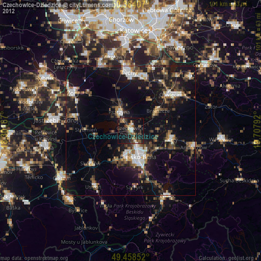
» Earth at Night: Flat Maps 2012, 2016