Tuchola night lights from space
Night Light of Tuchola (Kujawsko-Pomorskie) from space (Poland) Src. Average luminocity for 10x10km area is 6.5379% and for 50x50km: 1.7555%.
Analysis of Tuchola night lights 2016
Square area 10x10 km:
 0.63%
0.63%90-99
1.89%80-89
0.51%70-79
0.51%60-69
0.51%50-59
1.52%40-49
0.51%30-39
0.51%20-29
1.39%10-19
0.13%0-9
91.92%Square area 50x50 km:
0.25%90-99
0.39%80-89
0.18%70-79
0.19%60-69
0.2%50-59
0.25%40-49
0.2%30-39
0.08%20-29
0.1%10-19
0.99%0-9
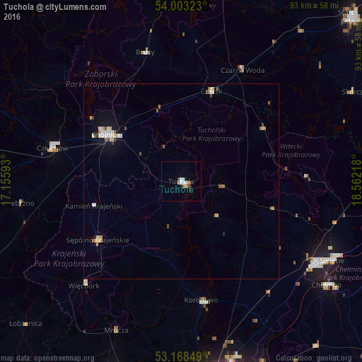
97.17%Clear (daylight) street map image can be seen on geolist.org.
Map coordinates:
54° 0' 11.6" North, 17° 9' 21.3" East
53° 35' 16.5" North, 17° 51' 32.6" East
53° 10' 6.6" North, 18° 33' 43.8" East
Some cities around Tuchola sort by population:
• Chojnice
23.2 km =14.4 mi,  301°
301°
• Świecie
43.7 km =27.2 mi,  117°
117°
• Człuchów
34.1 km =21.2 mi,  284°
284°
• Koronowo
30.9 km =19.2 mi,  170°
170°
• Czersk
24.4 km =15.2 mi,  18°
18°
• Sępólno Krajeńskie
26.4 km =16.4 mi,  235°
235°
• Więcbork
35.7 km =22.2 mi,  223°
223°
• Debrzno
41.5 km =25.8 mi,  262°
262°
3083043 (p: 13,686)
Sources (retrieved 2019-11-25):
» Earth at Night: Flat Maps 2012, 2016