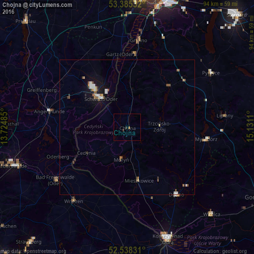
Chojna night lights from space
Night Light of Chojna (West Pomerania) from space (Poland) Src. Average luminocity for 10x10km area is 0.8241% and for 50x50km: 1.5499%.
Analysis of Chojna night lights 2016
Square area 10x10 km:
 0%
0%90-99
0%80-89
0%70-79
0.53%60-69
0%50-59
0%40-49
0.13%30-39
0.93%20-29
0%10-19
0%0-9
98.41%Square area 50x50 km:
0.28%90-99
0.2%80-89
0.14%70-79
0.12%60-69
0.17%50-59
0.34%40-49
0.19%30-39
0.18%20-29
0.08%10-19
1.2%0-9
97.09%Clear (daylight) street map image can be seen on geolist.org.
Map coordinates:
53° 23' 7.2" North, 13° 43' 29.5" East
52° 57' 50" North, 14° 25' 40.7" East
52° 32' 17.9" North, 15° 7' 52" East
Some cities around Chojna sort by population:
• Schwedt (Oder), DE
14.5 km =9 mi,  317°
317°
• Gryfino
32.3 km =20.1 mi,  7°
7°
• Angermünde, DE
29.3 km =18.2 mi,  281°
281°
• Dębno
30.9 km =19.2 mi,  144°
144°
• Bad Freienwalde, DE
33.1 km =20.6 mi,  233°
233°
• Pyrzyce
37.1 km =23.1 mi,  56°
56°
• Myślibórz
29.8 km =18.5 mi,  98°
98°
• Wriezen, DE
33.5 km =20.8 mi,  216°
216°
3101675 (p: 7,398)
Sources (retrieved 2019-11-25):
» Earth at Night: Flat Maps 2012, 2016