Schwedt (Oder) night lights from space
Night Light of Schwedt (Oder) (Brandenburg) from space (Germany) Src. Average luminocity for 10x10km area is 19.8823% and for 50x50km: 1.5245%.
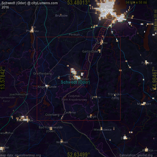
Analysis of Schwedt (Oder) night lights 2016
Square area 10x10 km:
 5.03%
5.03%90-99
3.31%80-89
1.72%70-79
1.32%60-69
2.12%50-59
3.84%40-49
0.93%30-39
1.06%20-29
0.26%10-19
21.56%0-9
58.86%Square area 50x50 km:
0.24%90-99
0.21%80-89
0.12%70-79
0.14%60-69
0.16%50-59
0.33%40-49
0.19%30-39
0.27%20-29
0.05%10-19
1.26%0-9
97.03%Clear (daylight) street map image can be seen on geolist.org.
Map coordinates:
53° 28' 48.5" North, 13° 34' 42.3" East
53° 3' 34.7" North, 14° 16' 53.5" East
52° 38' 6" North, 14° 59' 4.8" East
Some cities around Schwedt (Oder) sort by population:
• Eberswalde
39.8 km =24.7 mi,  231°
231°
• Gryfino, PL
25.5 km =15.8 mi,  32°
32°
• Prenzlau
39.9 km =24.8 mi,  315°
315°
• Angermünde
19.5 km =12.1 mi,  255°
255°
• Bad Freienwalde
34.6 km =21.5 mi,  209°
209°
• Pyrzyce, PL
41.9 km =26 mi,  76°
76°
• Wriezen
38.9 km =24.2 mi,  194°
194°
• Chojna, PL
14.5 km =9 mi,  137°
137°
2834629 (p: 38,001)
Sources (retrieved 2019-11-25):
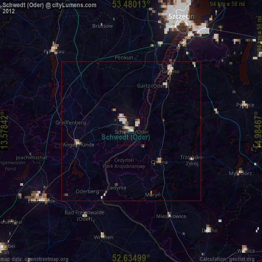
» Earth at Night: Flat Maps 2012, 2016