Golub-Dobrzyń night lights from space
Night Light of Golub-Dobrzyń (Kujawsko-Pomorskie) from space (Poland) Src. Average luminocity for 10x10km area is 6.4669% and for 50x50km: 3.7992%.
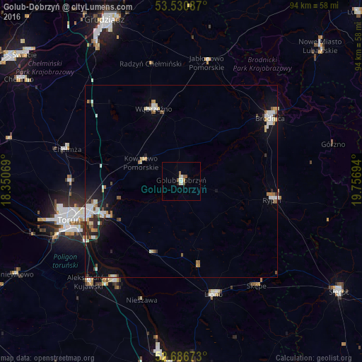
Analysis of Golub-Dobrzyń night lights 2016
Square area 10x10 km:
 1.32%
1.32%90-99
0.93%80-89
0.93%70-79
0.53%60-69
0.93%50-59
1.72%40-49
0%30-39
0%20-29
0.53%10-19
0%0-9
93.12%Square area 50x50 km:
0.76%90-99
0.69%80-89
0.4%70-79
0.26%60-69
0.44%50-59
0.44%40-49
0.26%30-39
0.44%20-29
0.64%10-19
2.18%0-9
93.49%Clear (daylight) street map image can be seen on geolist.org.
Map coordinates:
53° 31' 51.1" North, 18° 21' 2.5" East
53° 6' 39.1" North, 19° 3' 13.7" East
52° 41' 12.2" North, 19° 45' 25" East
Some cities around Golub-Dobrzyń sort by population:
• Toruń
32.3 km =20.1 mi,  250°
250°
• Brodnica
28.2 km =17.5 mi,  54°
54°
• Rypin
24.3 km =15.1 mi,  101°
101°
• Chełmża
31.1 km =19.3 mi,  285°
285°
• Lipno
30.8 km =19.1 mi,  164°
164°
• Wąbrzeźno
20.1 km =12.5 mi,  339°
339°
• Aleksandrów Kujawski
35.5 km =22.1 mi,  222°
222°
• Ciechocinek
31.1 km =19.3 mi,  213°
213°
3098925 (p: 12,937)
Sources (retrieved 2019-11-25):
» Earth at Night: Flat Maps 2012, 2016