Braniewo night lights from space
Night Light of Braniewo (Warmia-Masuria) from space (Poland) Src. Average luminocity for 10x10km area is 6.5401% and for 50x50km: 0.9916%.
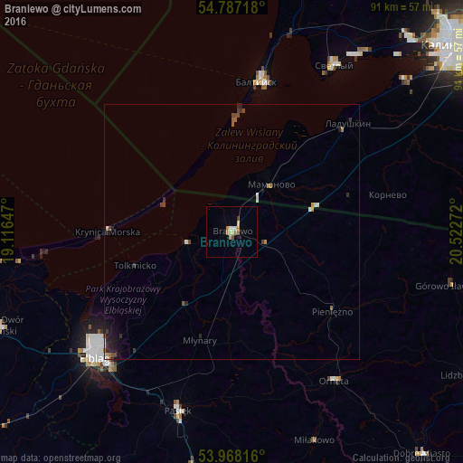
Analysis of Braniewo night lights 2016
Square area 10x10 km:
 0.5%
0.5%90-99
0.75%80-89
1.63%70-79
1.13%60-69
1.25%50-59
0.25%40-49
1%30-39
0.5%20-29
0%10-19
0%0-9
92.98%Square area 50x50 km:
0.08%90-99
0.11%80-89
0.1%70-79
0.12%60-69
0.16%50-59
0.1%40-49
0.24%30-39
0.21%20-29
0.27%10-19
0.46%0-9
98.13%Clear (daylight) street map image can be seen on geolist.org.
Map coordinates:
54° 47' 13.8" North, 19° 6' 59.3" East
54° 22' 47" North, 19° 49' 10.5" East
53° 58' 5.4" North, 20° 31' 21.8" East
Some cities around Braniewo sort by population:
• Elbląg
36.8 km =22.9 mi,  226°
226°
• Baltiysk, RU
31.1 km =19.3 mi,  10°
10°
• Svetlyy, RU
38.6 km =24 mi,  31°
31°
• Morąg
51.9 km =32.2 mi,  172°
172°
• Pasłęk
36.9 km =22.9 mi,  196°
196°
• Nowy Dwór Gdański
49.2 km =30.6 mi,  247°
247°
• Orneta
35.8 km =22.2 mi,  145°
145°
• Mamonovo, RU
12.1 km =7.5 mi,  39°
39°
3102677 (p: 18,356)
Sources (retrieved 2019-11-25):
» Earth at Night: Flat Maps 2012, 2016