Mamonovo night lights from space
Night Light of Mamonovo (Kaliningrad) from space (Russia) Src. Average luminocity for 10x10km area is 1.7739% and for 50x50km: 1.3684%.
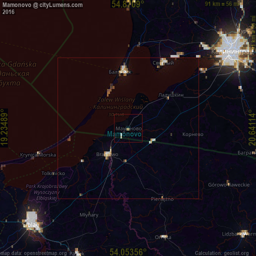
Analysis of Mamonovo night lights 2016
Square area 10x10 km:
 0.36%
0.36%90-99
0.12%80-89
0.48%70-79
0%60-69
0.96%50-59
0%40-49
0%30-39
0%20-29
0%10-19
0.48%0-9
97.61%Square area 50x50 km:
0.16%90-99
0.18%80-89
0.16%70-79
0.2%60-69
0.21%50-59
0.2%40-49
0.25%30-39
0.19%20-29
0.1%10-19
0.05%0-9
98.3%Clear (daylight) street map image can be seen on geolist.org.
Map coordinates:
54° 52' 15.2" North, 19° 14' 5.6" East
54° 27' 51.4" North, 19° 56' 16.8" East
54° 3' 12.8" North, 20° 38' 28.1" East
Some cities around Mamonovo sort by population:
• Kaliningrad
45.7 km =28.4 mi,  53°
53°
• Baltiysk
21.2 km =13.2 mi,  354°
354°
• Svetlyy
26.6 km =16.5 mi,  28°
28°
• Braniewo, PL
12.1 km =7.5 mi,  219°
219°
• Pasłęk, PL
48.3 km =30 mi,  202°
202°
• Orneta, PL
40.9 km =25.4 mi,  161°
161°
• Bagrationovsk
46.4 km =28.8 mi,  100°
100°
• Yantarnyy
45.2 km =28.1 mi,  0°
0°
2609901 (p: 7,271)
Sources (retrieved 2019-11-25):
» Earth at Night: Flat Maps 2012, 2016