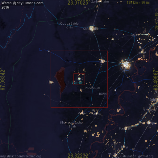
Warah night lights from space
Night Light of Warah (Sindh) from space (Pakistan) Src. Average luminocity for 10x10km area is 7.2424% and for 50x50km: 1.1501%.
Analysis of Warah night lights 2016
Square area 10x10 km:
 0%
0%90-99
0.19%80-89
1.33%70-79
0.76%60-69
0.76%50-59
2.27%40-49
2.65%30-39
2.84%20-29
0.57%10-19
1.52%0-9
87.12%Square area 50x50 km:
0.06%90-99
0.05%80-89
0.1%70-79
0.06%60-69
0.23%50-59
0.35%40-49
0.33%30-39
0.42%20-29
0.2%10-19
0.15%0-9
98.04%Clear (daylight) street map image can be seen on geolist.org.
Map coordinates:
28° 4' 12.9" North, 67° 5' 36.3" East
27° 26' 53" North, 67° 47' 47.5" East
26° 49' 20.4" North, 68° 29' 58.8" East
Some cities around Warah sort by population:
• Kambar
25.4 km =15.8 mi,  52°
52°
• New Bādāh
26.1 km =16.2 mi,  116°
116°
• Mehar
29.9 km =18.6 mi,  175°
175°
• Khairpur Nathan Shah
40.2 km =25 mi,  188°
188°
• Nasirabad
14 km =8.7 mi, 122°
• Goth Radhan
31.8 km =19.8 mi,  150°
150°
• Dokri
30.8 km =19.1 mi,  105°
105°
• Goth Garelo
27.6 km =17.1 mi,  92°
92°
1162589 (p: 18,724)
Sources (retrieved 2019-11-25):
» Earth at Night: Flat Maps 2012, 2016