Kambar night lights from space
Night Light of Kambar (Sindh) from space (Pakistan) Src. Average luminocity for 10x10km area is 10.9444% and for 50x50km: 3.0097%.
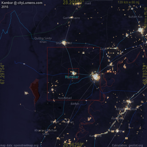
Analysis of Kambar night lights 2016
Square area 10x10 km:
 1.59%
1.59%90-99
0.79%80-89
0%70-79
0%60-69
4.56%50-59
3.17%40-49
2.58%30-39
0.99%20-29
1.19%10-19
0.6%0-9
84.52%Square area 50x50 km:
0.24%90-99
0.54%80-89
0.25%70-79
0.16%60-69
0.47%50-59
0.54%40-49
0.72%30-39
0.61%20-29
0.63%10-19
1.72%0-9
94.11%Clear (daylight) street map image can be seen on geolist.org.
Map coordinates:
28° 12' 32.1" North, 67° 17' 51.1" East
27° 35' 15.1" North, 68° 0' 2.4" East
26° 57' 45.3" North, 68° 42' 13.6" East
Some cities around Kambar sort by population:
• Larkana
21.1 km =13.1 mi,  98°
98°
• Shahdad Kot
30.3 km =18.8 mi,  342°
342°
• New Bādāh
27.5 km =17.1 mi,  173°
173°
• Nasirabad
24.4 km =15.2 mi,  199°
199°
• Warah
25.4 km =15.8 mi,  232°
232°
• Dokri
25.6 km =15.9 mi,  158°
158°
• Miro Khan
21.2 km =13.2 mi,  25°
25°
• Goth Garelo
18.5 km =11.5 mi, 156°
1167622 (p: 77,481)
Sources (retrieved 2019-11-25):
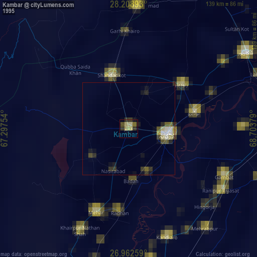
» NASA, Earths city lights 1995
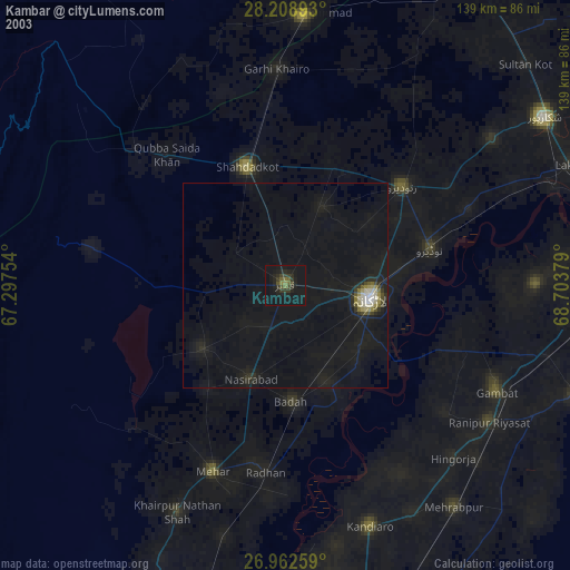
» NASA city lights 2003
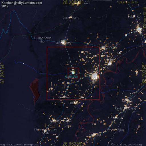
» Earth at Night: Flat Maps 2012, 2016